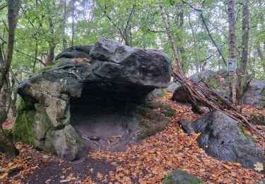
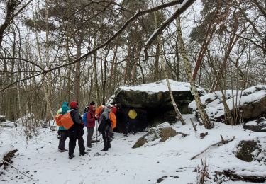
16 km | 17.9 km-effort
Boucle autour des étangs à partir de Mennecy
chessyca
User GUIDE
Length
18.6 km
Max alt
88 m
Uphill gradient
172 m
Km-Effort
21 km
Min alt
43 m
Downhill gradient
173 m
Boucle
Yes
Creation date :
2021-07-07 07:44:26.962
Updated on :
2021-07-07 15:50:12.447
4h44
Difficulty : Very easy
FREE GPS app for hiking
About
Trail On foot of 18.6 km to be discovered at Ile-de-France, Essonne, Mennecy. This trail is proposed by chessyca.
Description
Rando menée par Jean Paul. Coin magnifique mais protection anti moustique necessaire en cette saison
Positioning
Country:
France
Region :
Ile-de-France
Department/Province :
Essonne
Municipality :
Mennecy
Location:
Unknown
Start:(Dec)
Start:(UTM)
457386 ; 5379332 (31U) N.
Comments
Trails nearby
Rando Ballancourt 15 km BM
Walking
Difficult
(1)
Ballancourt-sur-Essonne,
Ile-de-France,
Essonne,
France
14.8 km | 16.9 km-effort
3h 50min
Yes
Boucle 23 km au départ de Mennecy
Walking
Very easy
Mennecy,
Ile-de-France,
Essonne,
France
23 km | 26 km-effort
4h 52min
Yes
Boucle autour de Ballancourt
Walking
Medium
Ballancourt-sur-Essonne,
Ile-de-France,
Essonne,
France
21 km | 25 km-effort
4h 47min
Yes
Boucle autour de Mennecy
On foot
Medium
Mennecy,
Ile-de-France,
Essonne,
France
27 km | 30 km-effort
6h 48min
Yes
Les Etangs de Mennecy
On foot
Difficult
(1)
Mennecy,
Ile-de-France,
Essonne,
France
18.5 km | 21 km-effort
4h 3min
Yes
Boucle Ballancourt 2
Walking
Very easy
Ballancourt-sur-Essonne,
Ile-de-France,
Essonne,
France
21 km | 26 km-effort
7h 4min
Yes
Boucle Ballancourt / essonne sous la neige
Walking
Medium
Ballancourt-sur-Essonne,
Ile-de-France,
Essonne,
France
21 km | 25 km-effort
6h 34min
Yes
vert le petit
Nordic walking
Very easy
(1)
Vert-le-Petit,
Ile-de-France,
Essonne,
France
7.9 km | 8.6 km-effort
2h 0min
Yes