


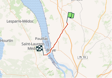


97 km | 105 km-effort

User


FREE GPS app for hiking
 SityTrail
IGN / Geographical institutes
SityTrail World
The world is yours!
Trail Walking of 35 km to be discovered at New Aquitaine, Charente-Maritime, Boisredon. This trail is proposed by jeff2.
Boisredon à Lamarque


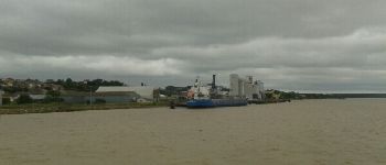
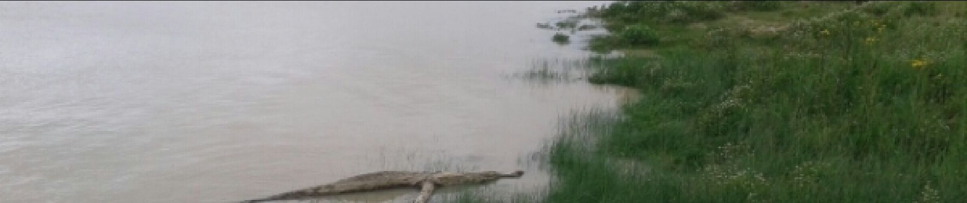
33 photos in total. Please click on a photo to see them all in the gallery.

Walking
Walking