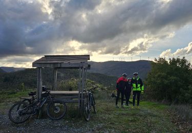
10.7 km | 14.8 km-effort
cèpe
lablaquiere
User
Length
3.9 km
Max alt
565 m
Uphill gradient
89 m
Km-Effort
5.3 km
Min alt
414 m
Downhill gradient
151 m
Boucle
No
Creation date :
2021-07-06 18:04:54.024
Updated on :
2021-07-06 19:32:03.827
1h26
Difficulty : Easy
FREE GPS app for hiking
About
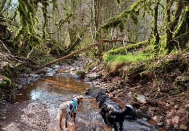
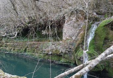
Trail Walking of 3.9 km to be discovered at Occitania, Aveyron, Saint-Félix-de-Sorgues. This trail is proposed by lablaquiere.
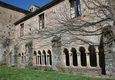
Positioning
Country:
France
Region :
Occitania
Department/Province :
Aveyron
Municipality :
Saint-Félix-de-Sorgues
Location:
Unknown
Start:(Dec)
Start:(UTM)
499594 ; 4857105 (31T) N.
Comments
Trails nearby
Le mazet trounas montagneol le mazet
Walking
Medium
Montagnol,
Occitania,
Aveyron,
France
8.2 km | 11.3 km-effort
2h 0min
Yes
nonenque vialaret batisse nonenque
Running
Very easy
Marnhagues-et-Latour,
Occitania,
Aveyron,
France
10.3 km | 14.6 km-effort
2h 4min
Yes
nonenque vierges grotte nonenque
Walking
Very easy
Marnhagues-et-Latour,
Occitania,
Aveyron,
France
4.5 km | 7.2 km-effort
1h 33min
Yes
roquaubel brûle par marquisard
Running
Very easy
Marnhagues-et-Latour,
Occitania,
Aveyron,
France
7.3 km | 10.7 km-effort
1h 27min
Yes
sylvanes fayet
Mountain bike
Difficult
Sylvanès,
Occitania,
Aveyron,
France
28 km | 39 km-effort
2h 16min
Yes
Gissac les Douzoux le Bouis 12 km
Walking
Easy
Gissac,
Occitania,
Aveyron,
France
11.9 km | 15.8 km-effort
2h 56min
Yes
les Canyons du Rougier
Walking
Medium
Gissac,
Occitania,
Aveyron,
France
9.7 km | 13.1 km-effort
2h 45min
Yes