


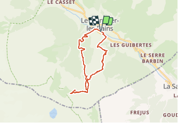

9.4 km | 27 km-effort


User


FREE GPS app for hiking
 SityTrail
IGN / Geographical institutes
SityTrail World
The world is yours!
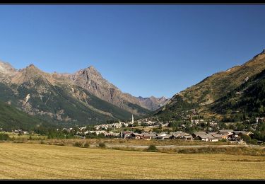
Trail Walking of 14.7 km to be discovered at Provence-Alpes-Côte d'Azur, Hautes-Alpes, Le Monêtier-les-Bains. This trail is proposed by seghth.
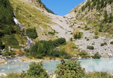
Montée par GR54 puis sentier tres raide vers belvedere Lauzieres. Descente par sentier le long des pistes. Quelques éboulis et grand névés

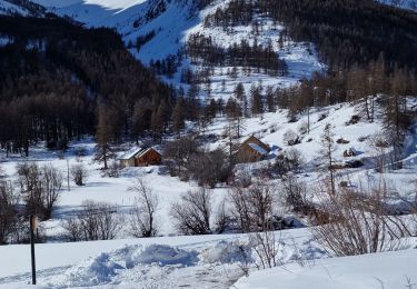
Touring skiing

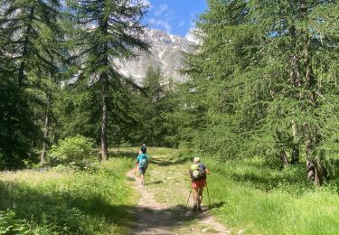
Walking

Walking

Walking
Nordic walking
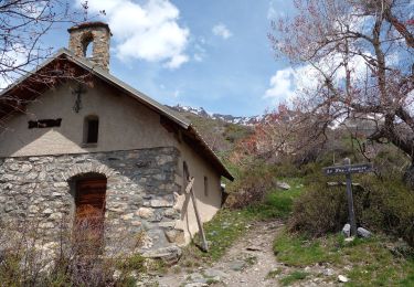
Walking
Walking
Walking
Walking