6.2 km | 7.8 km-effort
2021-07-05_20h10m00_gpx-file (1)
mumu.larandonneuse
User GUIDE
Length
10.6 km
Max alt
394 m
Uphill gradient
227 m
Km-Effort
13.6 km
Min alt
253 m
Downhill gradient
218 m
Boucle
Yes
Creation date :
2021-07-05 18:10:00.224
Updated on :
2023-06-10 17:05:53.424
3h05
Difficulty : Medium
FREE GPS app for hiking
About
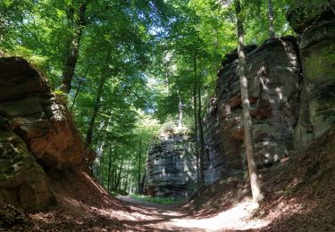
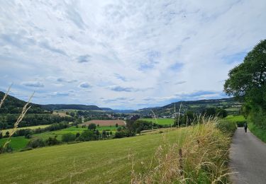
Trail Walking of 10.6 km to be discovered at Unknown, Canton Echternach, Beaufort. This trail is proposed by mumu.larandonneuse.
Description
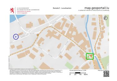
📌 château de Beaufort ou directement du Camping Park Beaufort
Balisage en vert sur fond blanc.
Positioning
Country:
Luxembourg
Region :
Unknown
Department/Province :
Canton Echternach
Municipality :
Beaufort
Location:
Unknown
Start:(Dec)
Start:(UTM)
304894 ; 5523576 (32U) N.
Comments
Trails nearby
2024-08-10_15h10m00_Sentier_local_-_W4
Walking
Medium
(1)
Waldbillig,
Unknown,
Canton Echternach,
Luxembourg
1h 45min
Yes
Berdorf - B2 - Müllerthal
Walking
Medium
(2)
Berdorf,
Unknown,
Canton Echternach,
Luxembourg
6.7 km | 8.5 km-effort
1h 35min
Yes
2022-09-22_13h06m23_t62862476_eislek pad bettendorf
Walking
Medium
(1)
Bettendorf,
Unknown,
Canton Diekirch,
Luxembourg
12.9 km | 17.1 km-effort
3h 52min
Yes
2021-07-05_19h47m20_gpx-file
Walking
Medium
(2)
Beaufort,
Unknown,
Canton Echternach,
Luxembourg
12.9 km | 16.8 km-effort
3h 48min
Yes
Mullerthal randonnée magnifique
Walking
Difficult
(4)
Waldbillig,
Unknown,
Canton Echternach,
Luxembourg
9.3 km | 12.9 km-effort
4h 21min
Yes
2023-06-03_18h17m36_Sentier_local_-_B8
Walking
Medium
(2)
Berdorf,
Unknown,
Canton Echternach,
Luxembourg
11.7 km | 15 km-effort
3h 24min
Yes
MÜLLERTHAL (Cascades)
Walking
Medium
(1)
Waldbillig,
Unknown,
Canton Echternach,
Luxembourg
10.2 km | 13.7 km-effort
3h 1min
Yes
Luxemburg: Mullerthal - Consdorf - Mullerthal
Other activity
Very difficult
(3)
Waldbillig,
Unknown,
Canton Echternach,
Luxembourg
11.5 km | 15.4 km-effort
4h 10min
Yes
Superbe parcours varié ... le long des formations rocheuses et le long des ruisseaux pittoresques.