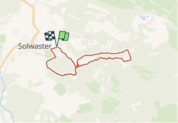


10.1 km | 13.3 km-effort

User GUIDE


FREE GPS app for hiking
 SityTrail
IGN / Geographical institutes
SityTrail World
The world is yours!
Trail Walking of 6.3 km to be discovered at Wallonia, Liège, Jalhay. This trail is proposed by pierreh01.
Lundi 5 juillet 2021
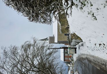
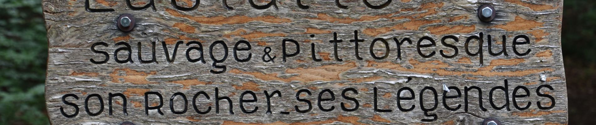
Très jolie balade, au départ de Solwaster, le long de la Statte en passant par le dolmen, le rocher de Bilisse (bas et haut), la cascade des Nutons et la cabane des Nutons.
Balade à appréhender avec prudence par temps pluvieux et glissant comme aujourd'hui.


30 photos in total. Please click on a photo to see them all in the gallery.

Walking

Walking

Walking

Walking

Walking

Walking

Walking

Running