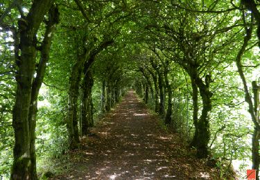
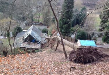
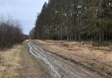
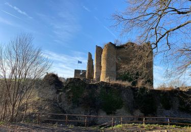
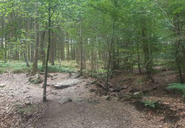
15.9 km | 21 km-effort
La Reid (Becco) 11 / 278
Jeanedouard
User
Length
11.5 km
Max alt
331 m
Uphill gradient
278 m
Km-Effort
15.2 km
Min alt
208 m
Downhill gradient
277 m
Boucle
Yes
Creation date :
2021-07-04 12:33:53.833
Updated on :
2024-11-04 10:33:42.637
3h26
Difficulty : Difficult
FREE GPS app for hiking
About
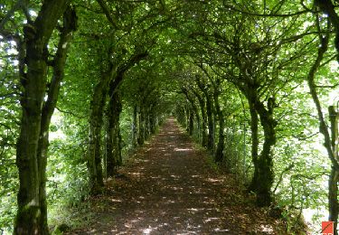
Trail Walking of 11.5 km to be discovered at Wallonia, Liège, Theux. This trail is proposed by Jeanedouard.
Description
Départ = Route du Maquisard (place du Marais) ♥
Longueur = 11,5 km → KE = 15 km ♥
Alt = 208 / 331 m
DC = 278 m
Positioning
Country:
Belgium
Region :
Wallonia
Department/Province :
Liège
Municipality :
Theux
Location:
Unknown
Start:(Dec)
Start:(UTM)
697950 ; 5596674 (31U) N.
Comments
Trails nearby
Petite remontée du Ninglispo
Walking
Medium
(9)
Aywaille,
Wallonia,
Liège,
Belgium
6.7 km | 9.7 km-effort
2h 11min
Yes
RF-Lg-08_Franchimont_Grande-boucle
Walking
Very easy
(6)
Theux,
Wallonia,
Liège,
Belgium
10.8 km | 14.6 km-effort
3h 9min
Yes
20220717 - HUWAO La Reid - 7 Km
Walking
Medium
(2)
Theux,
Wallonia,
Liège,
Belgium
7 km | 9.5 km-effort
2h 34min
Yes
vertbuisson . chefna . porallee . éolienne bronrome . vertbuisson
Walking
Very easy
(1)
Theux,
Wallonia,
Liège,
Belgium
8.8 km | 10.4 km-effort
2h 10min
No
à Mambaye, Pottier s´est pendu
Walking
Easy
(1)
Spa,
Wallonia,
Liège,
Belgium
10.7 km | 14.6 km-effort
3h 16min
Yes
Chemin des Sources |stage 9 LA REID - SPA
Walking
Very difficult
(1)
Theux,
Wallonia,
Liège,
Belgium
15.7 km | 21 km-effort
4h 46min
No