17.1 km | 22 km-effort
Boucle-De-La-Chapelle-Faucher-INSEE-24107
Melifera
User
Length
14.7 km
Max alt
206 m
Uphill gradient
304 m
Km-Effort
18.7 km
Min alt
119 m
Downhill gradient
306 m
Boucle
Yes
Creation date :
2021-07-04 11:01:12.36
Updated on :
2021-07-04 11:09:16.484
3h11
Difficulty : Difficult
FREE GPS app for hiking
About
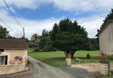
Trail Walking of 14.7 km to be discovered at New Aquitaine, Dordogne, La Chapelle-Faucher. This trail is proposed by Melifera.
Positioning
Country:
France
Region :
New Aquitaine
Department/Province :
Dordogne
Municipality :
La Chapelle-Faucher
Location:
Unknown
Start:(Dec)
Start:(UTM)
323839 ; 5026544 (31T) N.
Comments
Trails nearby
St pierre de Cole - Brantome
Walking
Easy
Saint-Pierre-de-Côle,
New Aquitaine,
Dordogne,
France
3h 59min
No
Boucle de Champagnac de bel air
Walking
Difficult
Champagnac-de-Belair,
New Aquitaine,
Dordogne,
France
12.7 km | 15.7 km-effort
3h 33min
Yes
boucle st pierre de cole
Walking
Medium
Saint-Pierre-de-Côle,
New Aquitaine,
Dordogne,
France
13.4 km | 16.6 km-effort
3h 27min
Yes
st pierre brantome
Walking
Difficult
Saint-Pierre-de-Côle,
New Aquitaine,
Dordogne,
France
15.4 km | 19.9 km-effort
2h 45min
No
Mareuil Pauliac Brantôme Pressillac
Mountain bike
Medium
Villars,
New Aquitaine,
Dordogne,
France
109 km | 136 km-effort
8h 23min
Yes
La Chappelle-Faucher 11km
Walking
Easy
(3)
La Chapelle-Faucher,
New Aquitaine,
Dordogne,
France
11.3 km | 14.3 km-effort
3h 6min
Yes
St Pierre de Côle Bruzac courte 12km
Walking
Easy
Saint-Pierre-de-Côle,
New Aquitaine,
Dordogne,
France
11.5 km | 14.5 km-effort
3h 10min
Yes
St Pierre de Côle Bruzac 15km
Walking
Easy
Saint-Pierre-de-Côle,
New Aquitaine,
Dordogne,
France
15.1 km | 19 km-effort
4h 6min
Yes
Condat-sur-Trincou Dronne Trincou 13km
Walking
Easy
Condat-sur-Trincou,
New Aquitaine,
Dordogne,
France
12.6 km | 15.8 km-effort
3h 26min
Yes