


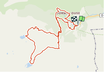

23 km | 47 km-effort

User


FREE GPS app for hiking
 SityTrail
IGN / Geographical institutes
SityTrail World
The world is yours!
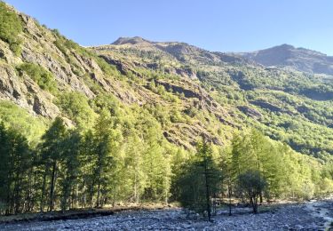
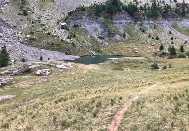
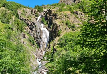
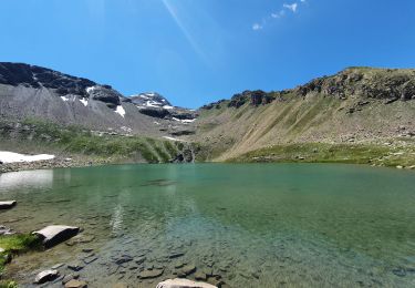
Trail Walking of 15.7 km to be discovered at Provence-Alpes-Côte d'Azur, Hautes-Alpes, Freissinières. This trail is proposed by rgoujon.
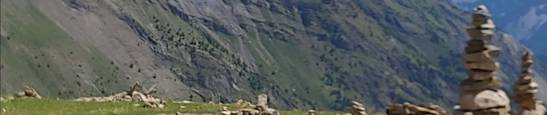
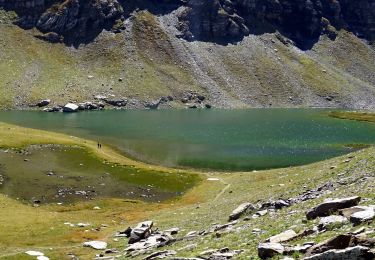
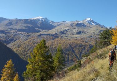
magnifique rando, des lacs alpins, des cascades, le champs des cairns, retour par ce beau village de Dormillouse et le sentier d'hiver jusqu'au parking des cascades.


Walking
Walking

Walking
Walking
Walking
Walking
Walking
Walking
Walking