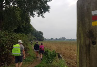
14 km | 15 km-effort
Traversée de la baie du Mont St Michel
GOHIER
User
Length
8.6 km
Max alt
22 m
Uphill gradient
33 m
Km-Effort
9 km
Min alt
0 m
Downhill gradient
33 m
Boucle
No
Creation date :
2021-07-01 11:31:12.0
Updated on :
2021-07-01 18:48:13.048
4h22
Difficulty : Medium
FREE GPS app for hiking
About
Trail Walking of 8.6 km to be discovered at Normandy, Manche, Vains. This trail is proposed by GOHIER.
Description
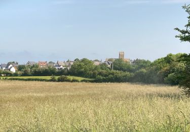
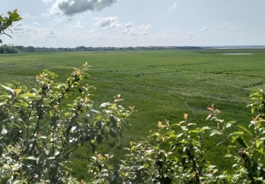
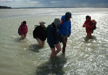
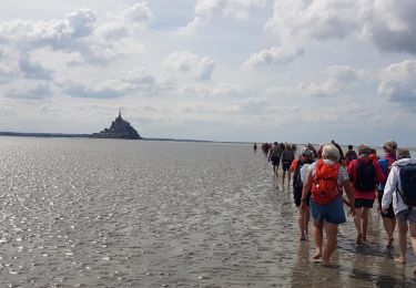
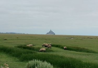
Entre sables et eaux mouvantes. Solitude complète et paysages immenses.
Positioning
Country:
France
Region :
Normandy
Department/Province :
Manche
Municipality :
Vains
Location:
Unknown
Start:(Dec)
Start:(UTM)
614731 ; 5391663 (30U) N.
Comments
Trails nearby
Mont-St-Michel - 14km 64m 4h30 - 2017 06 26
Walking
Easy
Huisnes-sur-Mer,
Normandy,
Manche,
France
4h 30min
Yes
La roche taurin Mont st michel
Walking
Easy
(1)
Courtils,
Normandy,
Manche,
France
10.8 km | 11.4 km-effort
3h 52min
No
50-genets-11km
Walking
Medium
Genêts,
Normandy,
Manche,
France
10.7 km | 11.7 km-effort
2h 39min
Yes
genets 3 juin 2017
Walking
Easy
(2)
Genêts,
Normandy,
Manche,
France
13 km | 14.2 km-effort
3h 8min
Yes
La Baie du Mont Saint Michel
Walking
Medium
Genêts,
Normandy,
Manche,
France
13.1 km | 13.3 km-effort
3h 3min
Yes
Traversée de la Baie du 03-09-2022
Walking
Difficult
Vains,
Normandy,
Manche,
France
12.2 km | 12.5 km-effort
3h 7min
Yes
Rando à Genêts du 03-09-2022
Walking
Medium
Genêts,
Normandy,
Manche,
France
7.5 km | 8.2 km-effort
1h 52min
No
La Roche Torin - le bas courtils
Walking
Easy
Courtils,
Normandy,
Manche,
France
11 km | 11.9 km-effort
3h 5min
Yes