


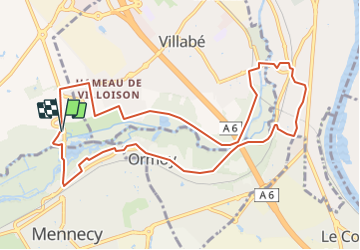

16 km | 17.9 km-effort


User


FREE GPS app for hiking
 SityTrail
IGN / Geographical institutes
SityTrail World
The world is yours!
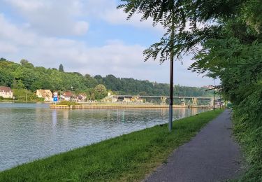
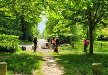
Trail On foot of 10.6 km to be discovered at Ile-de-France, Essonne, Lisses. This trail is proposed by Lucquiaud.
chemins de la Grande Ile de Mennecy = fermés jusqu'à quand ?
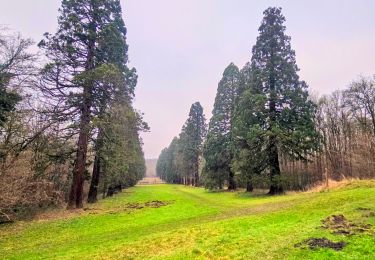
Chemins de l'Abreuvoir à explorer

Walking
On foot
Walking
On foot

On foot
Walking

On foot

Walking
Walking