


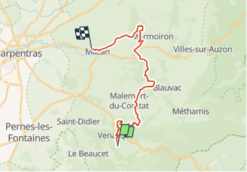

8.1 km | 10.8 km-effort


User


FREE GPS app for hiking
 SityTrail
IGN / Geographical institutes
SityTrail World
The world is yours!
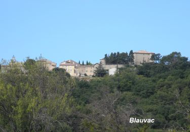
Trail Mountain bike of 25 km to be discovered at Provence-Alpes-Côte d'Azur, Vaucluse, Venasque. This trail is proposed by Larage.
Au lieu dit "Les Montagards" ne pas suivre le tracé, mais prendre à droite derrière le pylône électrique

Motor

Walking

Walking
Walking
Walking
Walking
Walking
Walking
Walking