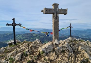
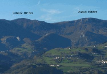
3.9 km | 5.1 km-effort
Espagne_Ermitage SanJuan_Mont ERNIO
© OpenStreetMap contributors
Walking
4h20
Difficulty : Difficult
Length
10.9 km
Max alt
1057 m
Uphill gradient
639 m
Km-Effort
19.4 km
Min alt
586 m
Downhill gradient
638 m
Boucle
Yes
Creation date :
2021-06-29 08:12:22.236
Updated on :
2022-10-14 08:52:08.355
4h20
Difficulty : Difficult
FREE GPS app for hiking
About
Trail Walking of 10.9 km to be discovered at Autonomous Community of the Basque Country, Gipuzkoa, Asteasu. This trail is proposed by ChristopheLefauconnier.
Positioning
Country:
Spain
Region :
Autonomous Community of the Basque Country
Department/Province :
Gipuzkoa
Municipality :
Asteasu
Location:
Unknown
Start:(Dec)
Start:(UTM)
569195 ; 4782783 (30T) N.
Comments
Trails nearby
SL-GI 27 Atxulondoko burdinola
On foot
Easy
Zizurkil,
Autonomous Community of the Basque Country,
Gipuzkoa,
Spain
1h 9min
No
SL-GI 26 Mendiko larreak
On foot
Easy
Zizurkil,
Autonomous Community of the Basque Country,
Gipuzkoa,
Spain
3.4 km | 4.6 km-effort
1h 2min
Yes
ernio
Walking
Medium
Asteasu,
Autonomous Community of the Basque Country,
Gipuzkoa,
Spain
11 km | 19.4 km-effort
3h 44min
Yes
SL-GI 9 Xaguzarren bidea
On foot
Easy
Alkiza,
Autonomous Community of the Basque Country,
Gipuzkoa,
Spain
4.2 km | 6.9 km-effort
1h 33min
Yes
SL-GI 6 Aginagako bidea
On foot
Easy
Alkiza,
Autonomous Community of the Basque Country,
Gipuzkoa,
Spain
5.2 km | 7.5 km-effort
1h 41min
Yes