


10.9 km | 26 km-effort


User


FREE GPS app for hiking
 SityTrail
IGN / Geographical institutes
SityTrail World
The world is yours!
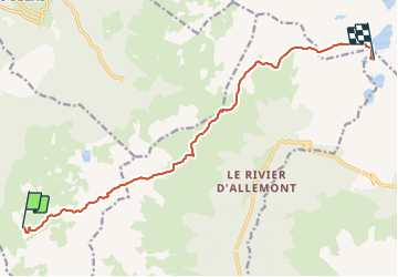
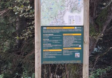
Trail Walking of 12.3 km to be discovered at Auvergne-Rhône-Alpes, Isère, Sainte-Agnès. This trail is proposed by manginpascale.
[b]GR 738 - tracé Sud-Nord[/b]
[b]Départ [/b]: Vizille
[b]Arrivée [/b]: Aiguebelle
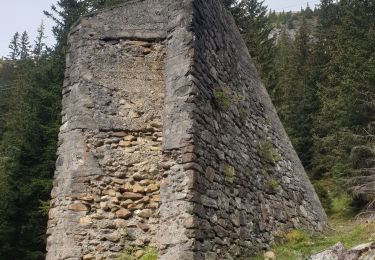
Magnifique randonnée du 01 au 09 juillet 2019. Le tracé s'écarte à quelques reprises du tracé officiel pour emprunter l'ancien GR, plus sauvage et moins fréquenté. Nous avons évité la descente vers le Pontet mais cela nous a valu une avant-dernière étape longue afin de trouver de l'eau. Attention à la pénurie d'eau également sur la première étape, malgré un enneigement exceptionnel et la canicule précédente.

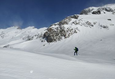
Touring skiing
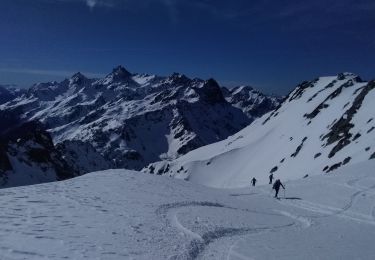
Touring skiing
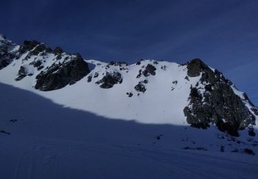
Touring skiing
Snowshoes
Walking

Walking

Walking

Walking
Walking