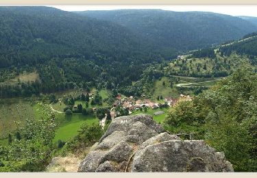
25 km | 36 km-effort
Anould Mandramont parking Chapelle de St. Hubert Anould
acey90
User
Length
3.3 km
Max alt
555 m
Uphill gradient
142 m
Km-Effort
5.1 km
Min alt
469 m
Downhill gradient
114 m
Boucle
Yes
Creation date :
2021-06-28 17:50:18.609
Updated on :
2021-06-28 18:00:26.93
2h24
Difficulty : Medium
FREE GPS app for hiking
About
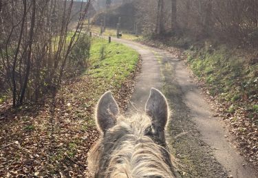
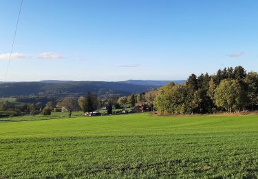
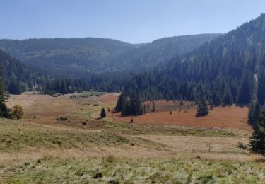
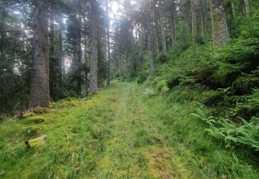
Trail Walking of 3.3 km to be discovered at Grand Est, Vosges, Anould. This trail is proposed by acey90.
Positioning
Country:
France
Region :
Grand Est
Department/Province :
Vosges
Municipality :
Anould
Location:
Unknown
Start:(Dec)
Start:(UTM)
348676 ; 5340132 (32U) N.
Comments
Trails nearby
suuntoapp-HorsebackRiding-2024-09-22T07-59-41Z
Horseback riding
Medium
Fraize,
Grand Est,
Vosges,
France
4h 40min
Yes
Chapelle de mangegoutte
Walking
Easy
(3)
Mandray,
Grand Est,
Vosges,
France
6.1 km | 9 km-effort
1h 54min
Yes
Circuit Alsace Vosges Fraize Orbey
Horseback riding
Medium
Plainfaing,
Grand Est,
Vosges,
France
30 km | 46 km-effort
6h 5min
No
2021-10-09 Marche St Die Metzeral Jour 2
Walking
Very difficult
Ban-sur-Meurthe-Clefcy,
Grand Est,
Vosges,
France
26 km | 40 km-effort
7h 23min
No
mp fraize 2021
Walking
Very difficult
Fraize,
Grand Est,
Vosges,
France
21 km | 32 km-effort
6h 14min
Yes
SityTrail - Fraize - Orbey
Horseback riding
Very difficult
Fraize,
Grand Est,
Vosges,
France
31 km | 48 km-effort
6h 22min
No
Tour du Bramont - Plainfaing
Walking
Medium
(1)
Plainfaing,
Grand Est,
Vosges,
France
10.5 km | 15.6 km-effort
2h 30min
Yes
Circuit Alsace Cigognes Plainfaing Sotre
Horseback riding
Very difficult
Plainfaing,
Grand Est,
Vosges,
France
29 km | 43 km-effort
5h 42min
No