


7.9 km | 9.8 km-effort


User


FREE GPS app for hiking
 SityTrail
IGN / Geographical institutes
SityTrail World
The world is yours!
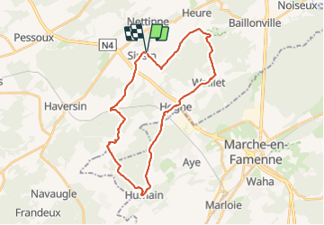
Trail Walking of 28 km to be discovered at Wallonia, Namur, Somme-Leuze. This trail is proposed by JEANMINNE.
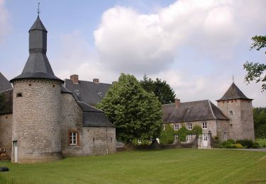
Sinsin, Sur le Foi, Au Tige, Bois d'heure, Haie Curie,Waillet,Hogne, Bois du Fourneau, Humain, Bois des Deffes, Bois des Dames, Ferme du Moulin, Serinchamps, Le Tomboi, Bois des Carmes, Sacré Cœur, Les Basses, Pont des Ripettes, Sinsin


Walking
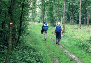
Walking
Walking
On foot
Walking

On foot
On foot
Walking

On foot