8.8 km | 10.7 km-effort
autour de fontclaivau
chantal40
User
Length
14.9 km
Max alt
115 m
Uphill gradient
182 m
Km-Effort
17.4 km
Min alt
59 m
Downhill gradient
181 m
Boucle
Yes
Creation date :
2021-06-25 08:12:24.225
Updated on :
2021-06-25 14:42:38.816
6h24
Difficulty : Easy
FREE GPS app for hiking
About
Trail Walking of 14.9 km to be discovered at New Aquitaine, Charente, Fontclaireau. This trail is proposed by chantal40.
Description
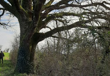
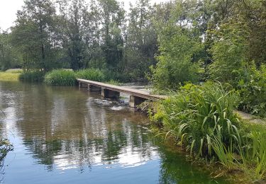
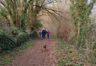
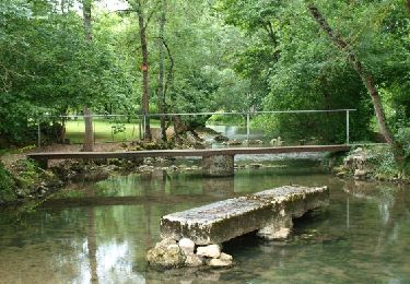
facile avec un peu de route, peu fréquentées. Passage au bord de Charente.
faisable en 5h avec ke Picnic
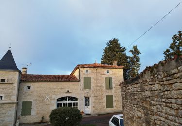
Positioning
Country:
France
Region :
New Aquitaine
Department/Province :
Charente
Municipality :
Fontclaireau
Location:
Unknown
Start:(Dec)
Start:(UTM)
282836 ; 5086176 (31T) N.
Comments
Trails nearby
La randonnée de Cellettes par Echoisy
Walking
Medium
Cellettes,
New Aquitaine,
Charente,
France
3h 5min
Yes
La Balade de PUYREAUX
Walking
Easy
Puyréaux,
New Aquitaine,
Charente,
France
8.4 km | 9.4 km-effort
2h 27min
Yes
16 - LICHERES
Walking
Very easy
Lichères,
New Aquitaine,
Charente,
France
8.8 km | 9.9 km-effort
4h 18min
Yes
Le circuit des moulins de st ciers de Bonnieure
Walking
Medium
Saint-Ciers-sur-Bonnieure,
New Aquitaine,
Charente,
France
8.2 km | 9.7 km-effort
2h 51min
Yes
Puychemin
Walking
Medium
Lichères,
New Aquitaine,
Charente,
France
9.1 km | 10.3 km-effort
2h 43min
Yes