


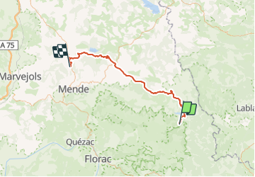

11.2 km | 14.8 km-effort


User


FREE GPS app for hiking
 SityTrail
IGN / Geographical institutes
SityTrail World
The world is yours!
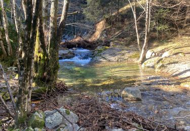
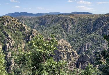
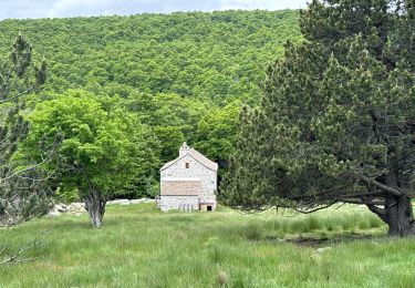
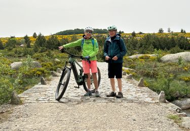
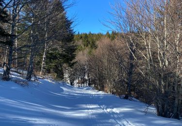
Trail Electric bike of 65 km to be discovered at Occitania, Lozère, Pourcharesses. This trail is proposed by lecamisard.
5h30 temps de traget
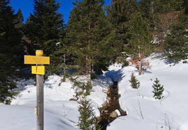
Walking
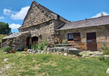
Walking
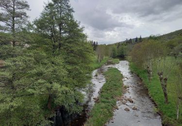
Walking

Walking
Walking
Walking

sport
Walking