


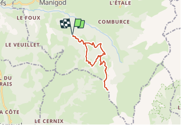

8 km | 11.6 km-effort

User


FREE GPS app for hiking
 SityTrail
IGN / Geographical institutes
SityTrail World
The world is yours!
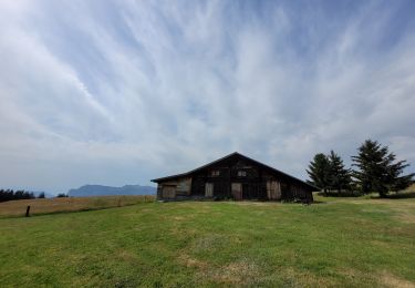
Trail Walking of 12.9 km to be discovered at Auvergne-Rhône-Alpes, Upper Savoy, Manigod. This trail is proposed by Michel_Martin.
Pointe d'Orsière et reconnaissance du passage Sur le Freu
Départ 900m après l'antenne et la pancarte Parking du torchon.


Snowshoes
Touring skiing

Walking
Touring skiing

Walking

Walking

Mountain bike
Mountain bike
Walking