


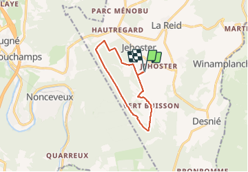


15.9 km | 21 km-effort

User GUIDE


FREE GPS app for hiking
 SityTrail
IGN / Geographical institutes
SityTrail World
The world is yours!
Trail Walking of 9.3 km to be discovered at Wallonia, Liège, Theux. This trail is proposed by pierreh01.
Jolie balade, sans difficulté, de ce lundi 21 juin 2021 au départ de l'internat de l'Institut Provincial Enseignement Agricole (IPEA) de La Reid, sous une météo très agréable (peu de soleil mais pas de pluie).


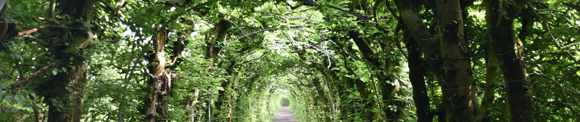
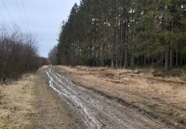
23 photos in total. Please click on a photo to see them all in the gallery.

Walking


Walking

Walking

Walking

Walking
Walking

Walking

Walking