


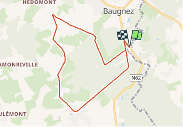


14.8 km | 18.9 km-effort

User GUIDE


FREE GPS app for hiking
 SityTrail
IGN / Geographical institutes
SityTrail World
The world is yours!
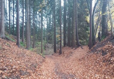
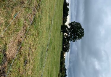
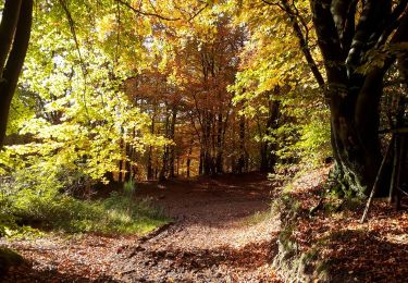
Trail Walking of 8.4 km to be discovered at Wallonia, Liège, Malmedy. This trail is proposed by pierreh01.
Balade HUWAO de ce dimanche 20 juin 2021, au départ de MALMEDY - Baugnez, sous une météo très agréable.


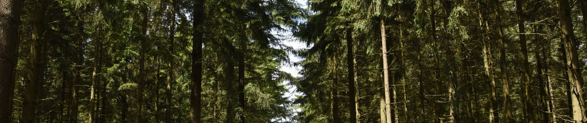
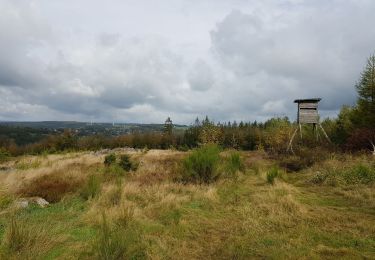
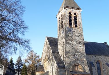
40 photos in total. Please click on a photo to see them all in the gallery.

Walking

Walking
Walking

Walking
Walking
Walking

On foot
Walking