11.3 km | 16.1 km-effort
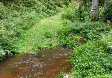
Autour des Charmalynes
Didier-114
User
Length
7.6 km
Max alt
634 m
Uphill gradient
172 m
Km-Effort
9.9 km
Min alt
477 m
Downhill gradient
171 m
Boucle
Yes
Creation date :
2021-06-20 07:36:48.806
Updated on :
2021-06-20 09:58:29.523
2h20
Difficulty : Easy
FREE GPS app for hiking
About
Trail Walking of 7.6 km to be discovered at Grand Est, Vosges, Granges-Aumontzey. This trail is proposed by Didier-114.
Description
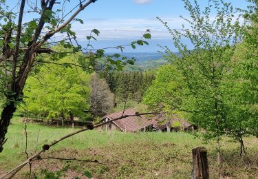
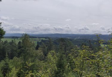
1er partie en sous bois, belle vue sur la vallée.
retour par le centre ville
Positioning
Country:
France
Region :
Grand Est
Department/Province :
Vosges
Municipality :
Granges-Aumontzey
Location:
Granges-sur-Vologne
Start:(Dec)
Start:(UTM)
334931 ; 5335254 (32U) N.
Comments
Trails nearby
rehaupal 2 march ettes
Walking
Medium
(1)
Rehaupal,
Grand Est,
Vosges,
France
10.9 km | 15.7 km-effort
2h 29min
Yes
champdray rehaupal
Electric bike
Easy
Champdray,
Grand Est,
Vosges,
France
20 km | 28 km-effort
2h 22min
Yes
chappes-arrentes-barbey seroux
Electric bike
Difficult
Granges-Aumontzey,
Grand Est,
Vosges,
France
21 km | 28 km-effort
1h 45min
Yes
granges-Spie mont-pierre sacrifice
Electric bike
Very difficult
Granges-Aumontzey,
Grand Est,
Vosges,
France
19.1 km | 25 km-effort
1h 37min
Yes
berchigranges-steniole
Electric bike
Very difficult
Granges-Aumontzey,
Grand Est,
Vosges,
France
17.1 km | 23 km-effort
2h 3min
Yes
Acpl la chapelle devant bruyères
Horseback riding
Very easy
La Chapelle-devant-Bruyères,
Grand Est,
Vosges,
France
30 km | 40 km-effort
5h 32min
Yes
2018-10-14 Rando CVA Vosges Granges sur Vologne Taintrux
Horseback riding
Easy
Granges-Aumontzey,
Grand Est,
Vosges,
France
23 km | 31 km-effort
3h 45min
No
2016 08 05 régional trou de l'enfer
Walking
Easy
Rehaupal,
Grand Est,
Vosges,
France
9 km | 12.2 km-effort
2h 27min
Yes