


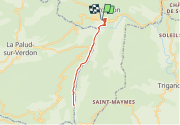

9.3 km | 18.6 km-effort


User


FREE GPS app for hiking
 SityTrail
IGN / Geographical institutes
SityTrail World
The world is yours!
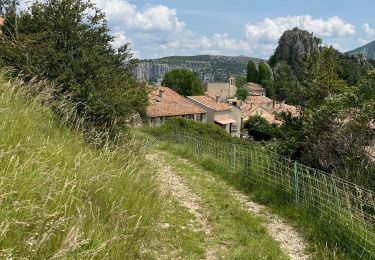
Trail Nordic walking of 13.4 km to be discovered at Provence-Alpes-Côte d'Azur, Alpes-de-Haute-Provence, Rougon. This trail is proposed by Fab-Oz.
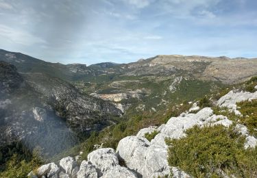
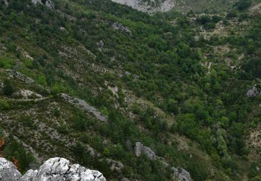
Départ du Point Sublime pour emprunter le Sentier Blanc Martel sur 7km jusqu'à Baume aux Chiens.
Sympa de croiser les coureurs du Var Verdon Canyon Challenge Je ferais d'ailleurs le retour en suivant certains d'autres eux pour un moment très sympathique

Walking

Walking

Walking

Walking

Walking

Walking
Walking
Walking
Walking