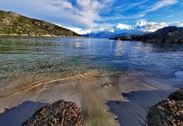
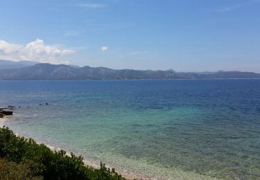
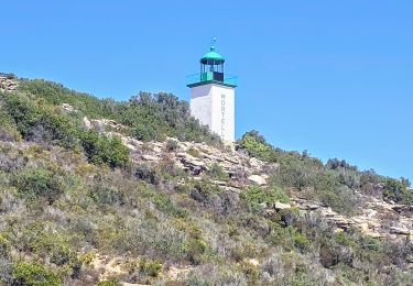
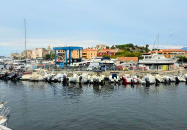
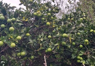
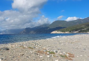
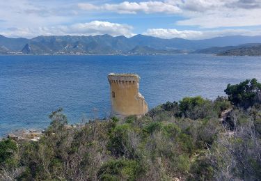
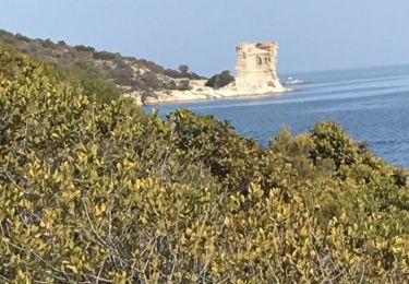
Trail Motor Saint-Florent - a-italie-korsica-12-motorroutes - Photo

a-italie-korsica-12-motorroutes

© OpenStreetMap contributors
Length
Length
1663 km
Max alt
Max alt
2344 m
Uphill gradient
Uphill gradient
143656 m
Km-Effort
Km-Effort  
3578 km
Min alt
Min alt
-7 m
Downhill gradient
Downhill gradient
143643 m
Boucle
Boucle
No
Creation date :
2016-03-09 00:00:00.0
Updated on :
2016-03-09 00:00:00.0

(0 Reviews)

Motor
Motor
--
Difficulty : Unknown

Scan this QR Code to open this trail in the SityTrail application

FREE GPS app for hiking

Logo SityTrail SityTrail

IGN / Geographical institutes

Download SityTrail from the App Store Download SityTrail from Google Play

Logo SityTrail SityTrail World

The world is yours!

Download SityTrail from the App Store Download SityTrail from Google Play Download SityTrail on Huawei AppGallery

About

Trail Motor of 1663 km to be discovered at Corsica, Haute-Corse, Saint-Florent. This trail is proposed by gpstracks.

Description

More information on GPStracks.nl : http://www.gpstracks.nl

Elevation profile

Points of interest

Point of interest Santo-Pietro-di-Tenda - 5840 - Photo
gpstracks
SANTO-PIETRO-DI-TENDA 
Point of interest Galéria - Abzweigung Fangotal - Photo
gpstracks
Point of interest Aléria - Alaria t12 - Photo
gpstracks
ALÉRIA 
Point of interest Ersa - Barcaggio t1 - Photo
gpstracks
Point of interest Ajaccio - Boot Ajaccio - Photo
gpstracks
AJACCIO 
Point of interest Corrano - Brug over Taravo t8 - Photo
gpstracks
Point of interest Ersa - Buticella t1 - Photo
gpstracks
Point of interest Calacuccia - Calacuccia t5 - Photo
gpstracks
CALACUCCIA 
Point of interest Quenza - Col de Bavella t11 - Photo
gpstracks
Point of interest Tavera - Col de Scalella t9 - Photo
gpstracks
Point of interest Moca-Croce - Col de St. Eustache t8 - Photo
gpstracks
Point of interest Palneca - Col de Verde t12 - Photo
gpstracks
Point of interest Évisa - Col de Vergio t5 - Photo
gpstracks
Point of interest Ajaccio - Cours Napoleon/Ajaccio t9 - Photo
gpstracks
Point of interest Moltifao - D147 t6 - Photo
gpstracks
MOLTIFAO 
Point of interest Canari - D331 t1 - Photo
gpstracks
CANARI 
Point of interest Vivario - D3431 t12 - Photo
gpstracks
VIVARIO 
Point of interest Ocana - D3enD103 - Photo
gpstracks
OCANA 
Point of interest Moltifao - D47enD147 t6 - Photo
gpstracks
MOLTIFAO 
Point of interest Biguglia - D621 t3 - Photo
gpstracks
BIGUGLIA 
Point of interest Ghisoni - D692 t12 - Photo
gpstracks
GHISONI 
Point of interest Pila-Canale - D7573 dag 4 - Photo
gpstracks
PILA-CANALE 
Point of interest Ersa - D80 t1 - Photo
gpstracks
ERSA 
Point of interest Ajaccio - D81/N194 t7 - Photo
gpstracks
AJACCIO 
Point of interest Eccica-Suarella - Eccica-Suarella t9 - Photo
gpstracks
ECCICA-SUARELLA 
Point of interest Asco - Einde weg? D147 t6 - Photo
gpstracks
Point of interest Corte - Einde weg? Gorges t6 - Photo
gpstracks
Point of interest Sartène - Genueser Brug Rizzan t10 - Photo
gpstracks
Point of interest Ajaccio - Genueser Turm D111 t9 - Photo
gpstracks
Point of interest Ghisoni - Ghisoni t12 - Photo
gpstracks
GHISONI 
Point of interest Morsiglia - Giovanacce t1 - Photo
gpstracks
MORSIGLIA 
Point of interest Cognocoli-Monticchi - Gradeddu t8 - Photo
gpstracks
COGNOCOLI-MONTICCHI 
Point of interest L'Île-Rousse - Ile de la Pietra t4 - Photo
gpstracks
L'ÎLE-ROUSSE 
Point of interest Murato - Kirche  San Michele t2 - Photo
gpstracks
Point of interest Urtaca - Kruising D1197 en D81 t2 - Photo
gpstracks
Point of interest Serra-di-Ferro - Kruising D157/D757 t8 - Photo
gpstracks
SERRA-DI-FERRO 
Point of interest Guagno - Kruising D48/D18 - Photo
gpstracks
Point of interest Scata - Kruising D506/D306 t3 - Photo
gpstracks
Point of interest Olmeta-di-Tuda - Kruising D62/D82 t2 t3 - Photo
gpstracks
OLMETA-DI-TUDA 
Point of interest Piève - Kruising D81enD62 t2 - Photo
gpstracks
Point of interest Castirla - Kruising D84/D18 t5 - Photo
gpstracks
Point of interest Castifao - Kruising N1197enN197 t2 - Photo
gpstracks
Point of interest Porto-Vecchio - L'Ospédale t11 - Photo
gpstracks
PORTO-VECCHIO 
Point of interest Rogliano - Macinaggio t1 - Photo
gpstracks
ROGLIANO 
Point of interest Morosaglia - Morosaglia t3 - Photo
gpstracks
MOROSAGLIA 
Point of interest Muracciole - Muracciole t12 - Photo
gpstracks
MURACCIOLE 
Point of interest Bocognano - N193/D27 (Brautschleier) t9 - Photo
gpstracks
Point of interest Ajaccio - N193/N196 t7 - Photo
gpstracks
AJACCIO 
Point of interest Vivario - N1931 t12.1 - Photo
gpstracks
VIVARIO 
Point of interest Tavera - N193enD127 - Photo
gpstracks
TAVERA 
Point of interest Morosaglia - N197/D47 (Asca Dal)  t6 - Photo
gpstracks
Point of interest Nonza - Nonza t1 - Photo
gpstracks
NONZA 
Point of interest Sollacaro - Opgravingen Filitosa t8 - Photo
gpstracks
Point of interest Ersa - Poggio t1 - Photo
gpstracks
ERSA 
Point of interest Castello-di-Rostino - Ponte Novu t3 - Photo
gpstracks
CASTELLO-DI-ROSTINO 
Point of interest Ota - Porto t7 t5 t4 - Photo
gpstracks
Point of interest Porto-Vecchio - Porto Vecchio (haven) t11 - Photo
gpstracks
Point of interest Porto-Vecchio - Porto-Vecchio t10 - Photo
gpstracks
PORTO-VECCHIO 
Point of interest Propriano - Propriano t7 - Photo
gpstracks
PROPRIANO 
Point of interest Propriano - Propriano t8-9 - Photo
gpstracks
PROPRIANO 
Point of interest Propriano - Propriano Tourist Info t10 - Photo
gpstracks
Point of interest Luri - Santa Severa t1 - Photo
gpstracks
Point of interest Sartène - Sartène t10 - Photo
gpstracks
SARTÈNE 
Point of interest Luri - Seneca Turm t1 - Photo
gpstracks
Point of interest Sari-Solenzara - Solenzara - Photo
gpstracks
SARI-SOLENZARA 
Point of interest Sari-Solenzara - Solenzara Tankstation t12 - Photo
gpstracks
Point of interest Saint-Florent - St. Florent t1 t4 t3 - Photo
gpstracks
SAINT-FLORENT 
Point of interest Santo-Pietro-di-Tenda - WegenOnverharde t2 - Photo
gpstracks
SANTO-PIETRO-DI-TENDA 
Point of interest Zonza - Zonza t11 - Photo
gpstracks
ZONZA 

Positioning

Country:
France
Region :
Corsica
Department/Province :
Haute-Corse
Municipality :
Saint-Florent
Location:
Unknown
Start:(UTM)
524650 ; 4725400 (32T) N.

Trails nearby

Trail Walking Saint-Florent - Traversée du désert des Agriates - Photo
Walking
cathymac20

Walking

Difficult
(1)
Saint-Florent, Corsica, Haute-Corse, France
38 km | 47 km-effort
Unknown
No
Trail Walking Saint-Florent - Les marines du soleil - Photo
Walking
jean.marie.litzler@gmail.com

Walking

Easy
(1)
Saint-Florent, Corsica, Haute-Corse, France
12.6 km | 16.8 km-effort
3h 56min
Yes
Trail Walking Saint-Florent - De la plage de l'Ospédale  à la plage de Lotu Saint Florent Haute Corse - Photo
Walking
GUIDE
chessyca

Walking

Medium
Saint-Florent, Corsica, Haute-Corse, France
15.5 km | 18.6 km-effort
3h 25min
No
Trail Walking Saint-Florent - Visite touristique Saint FLorent - Photo
Walking
GUIDE
chessyca

Walking

Very easy
Saint-Florent, Corsica, Haute-Corse, France
9.4 km | 10.4 km-effort
2h 34min
Yes
Trail Walking  - entre les plage de Loto Saleccia - Photo
Walking
fredba

Walking

Very easy
(2)
, , , France
15 km | 16.6 km-effort
2h 57min
No
Trail Walking Saint-Florent - Rando Saint Florent ville et alentours - Photo
Walking
Maca8284

Walking

Very easy
Saint-Florent, Corsica, Haute-Corse, France
8.3 km | 9.2 km-effort
3h 5min
Yes
Trail Walking Patrimonio - sentier du littoral de St Florent à Punta di Saeta - Photo
Walking
Maca8284

Walking

Difficult
(1)
Patrimonio, Corsica, Haute-Corse, France
8 km | 0 m-effort
3h 15min
Yes
Trail Walking Saint-Florent - st Florent phare de Motella et plage Lotu - Photo
Walking
Maca8284

Walking

Very difficult
Saint-Florent, Corsica, Haute-Corse, France
24 km | 29 km-effort
9h 0min
Yes
Trail Walking Saint-Florent - St Florent Plage de Saleccia - Photo
Walking
pierrebourhis

Walking

Easy
Saint-Florent, Corsica, Haute-Corse, France
13.9 km | 16.6 km-effort
5h 24min
No


Close
My subscriptions