


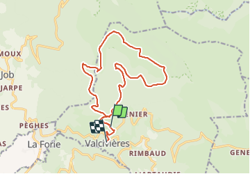

9.5 km | 13.3 km-effort

User


FREE GPS app for hiking
 SityTrail
IGN / Geographical institutes
SityTrail World
The world is yours!
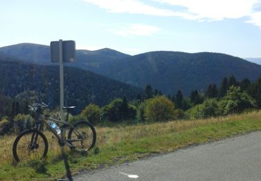
Trail Electric bike of 17.7 km to be discovered at Auvergne-Rhône-Alpes, Puy-de-Dôme, Valcivières. This trail is proposed by pierrebmw84.
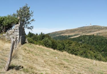
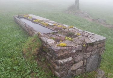
Très jolie au départ du village de valcivieres jusqu’au monthiallier à 1554 m
Belle vue mais privilégier le vttae... ça monte


Walking

Walking

On foot
On foot
On foot
On foot
On foot
Road bike
Walking