Trail Walking Bouvante - 26 bouvante pas ligue st truite - Photo

26 bouvante pas ligue st truite

 randodyssée
randodyssée

User GUIDE

© OpenStreetMap contributors
Length
Length
18.7 km
Max alt
Max alt
1348 m
Uphill gradient
Uphill gradient
929 m
Km-Effort
Km-Effort  
31 km
Min alt
Min alt
584 m
Downhill gradient
Downhill gradient
919 m
Boucle
Boucle
No
Creation date :
2021-06-16 06:42:19.092
Updated on :
2021-06-16 15:26:41.59

(0 Reviews)

Walking
Walking
8h42
Difficulty : Difficult

Scan this QR Code to open this trail in the SityTrail application

FREE GPS app for hiking

Logo SityTrail SityTrail

IGN / Geographical institutes

Download SityTrail from the App Store Download SityTrail from Google Play

Logo SityTrail SityTrail World

The world is yours!

Download SityTrail from the App Store Download SityTrail from Google Play Download SityTrail on Huawei AppGallery

About

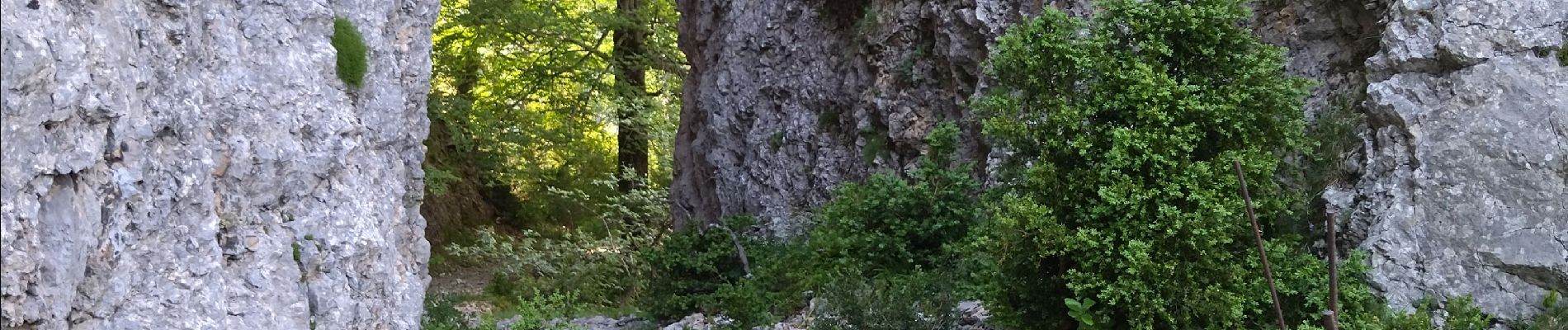
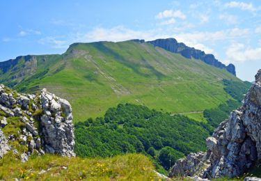
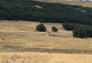
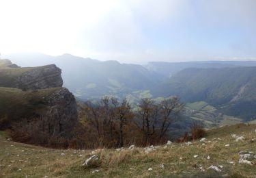
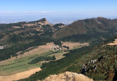
Trail Walking of 18.7 km to be discovered at Auvergne-Rhône-Alpes, Drôme, Bouvante. This trail is proposed by randodyssée.

Description

16.06.2021
gene
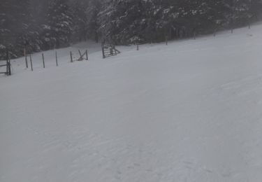
prendre sentier balisé derrière ferme aux chiens direction nord col  rioupeysson jusqu à été
forestière.Ensuite ne pas perdre le sentier

Elevation profile

Photos

Positioning

Country:
France
Region :
Auvergne-Rhône-Alpes
Department/Province :
Drôme
Municipality :
Bouvante
Location:
Unknown
Start:(UTM)
678692 ; 4976684 (31T) N.

Trails nearby

Trail Walking Omblèze - 2021-07-26_17h20m33_1627312809705_Plateau d_Ambel 15km.gpx.xml - Photo
Walking
chancha

Walking

Very difficult
(1)
Omblèze, Auvergne-Rhône-Alpes, Drôme, France
14.9 km | 22 km-effort
4h 56min
Yes
Trail Walking Bouvante - 01 - Photo
Walking
Noiraude

Walking

Medium
(1)
Bouvante, Auvergne-Rhône-Alpes, Drôme, France
12.5 km | 19.5 km-effort
5h 7min
Yes
Trail Mountain bike Léoncel - Tête de la Dame - Photo
Mountain bike
Thierryb26

Mountain bike

Medium
(1)
Léoncel, Auvergne-Rhône-Alpes, Drôme, France
27 km | 39 km-effort
2h 35min
Yes
Trail Walking Bouvante - Col de la Machine - Photo
Walking
Greg813

Walking

Difficult
Bouvante, Auvergne-Rhône-Alpes, Drôme, France
11.6 km | 16.3 km-effort
3h 42min
Yes
Trail Walking Bouvante - Crête des Gagères - Photo
Walking
Greg813

Walking

Medium
Bouvante, Auvergne-Rhône-Alpes, Drôme, France
8.3 km | 11.6 km-effort
2h 10min
Yes
Trail Walking Bouvante - 2lente tubanet zel raquette - Photo
Walking
GUIDE
randodyssée

Walking

Medium
Bouvante, Auvergne-Rhône-Alpes, Drôme, France
16.9 km | 21 km-effort
6h 42min
Yes
Trail Walking Bouvante - Tour du Plateau d’Ambel - Photo
Walking
alinetpierre

Walking

Medium
Bouvante, Auvergne-Rhône-Alpes, Drôme, France
18.5 km | 27 km-effort
4h 11min
Yes
Trail Walking Omblèze - Plateau d_Ambel 15km - Photo
Walking
GUIDE
thonyc

Walking

Medium
Omblèze, Auvergne-Rhône-Alpes, Drôme, France
14.8 km | 22 km-effort
4h 20min
Yes
Trail Walking Léoncel - Pas de Sausse pas De Chovet, arche de Rucla - Photo
Walking
alinetpierre

Walking

Medium
Léoncel, Auvergne-Rhône-Alpes, Drôme, France
9.9 km | 14.6 km-effort
2h 43min
Yes


Close
My subscriptions