


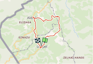

12.9 km | 21 km-effort


User


FREE GPS app for hiking
 SityTrail
IGN / Geographical institutes
SityTrail World
The world is yours!
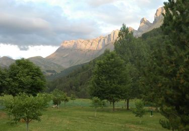
Trail Walking of 14.4 km to be discovered at New Aquitaine, Pyrénées-Atlantiques, Urepel. This trail is proposed by marchev.
Après les Aldudes ancine GR très peu marqué et sans doute très peu utilisé. Demande beaucoup de vigilence. Très belle randonnée


Walking
On foot

Walking

Walking
Walking
Walking

Mountain bike

Equestrian
Mountain bike