


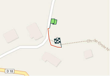

4.9 km | 9.5 km-effort


User


FREE GPS app for hiking
 SityTrail
IGN / Geographical institutes
SityTrail World
The world is yours!
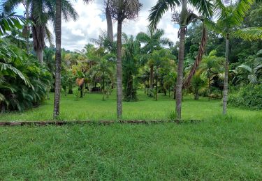
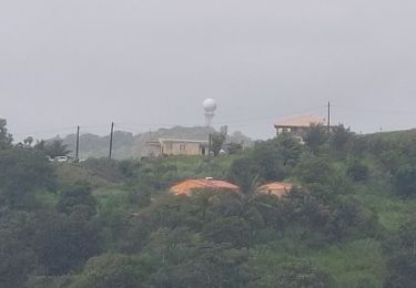
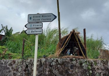
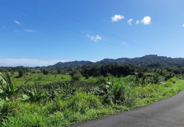
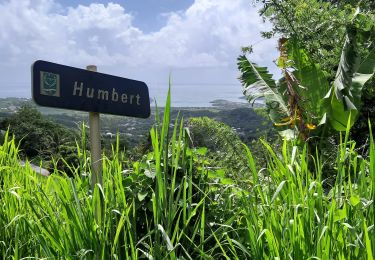
Trail Walking of 27 m to be discovered at Martinique, Unknown, Le Vauclin. This trail is proposed by Loic Le Meut.

Walking
Walking
Walking
Walking
Nordic walking

Walking

Walking
Walking

Walking