


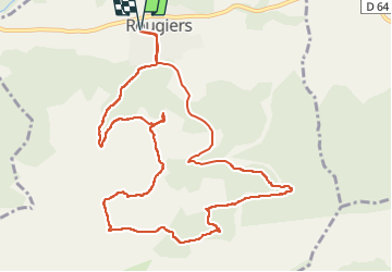

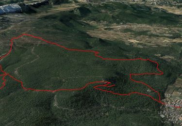
14.8 km | 22 km-effort

User


FREE GPS app for hiking
 SityTrail
IGN / Geographical institutes
SityTrail World
The world is yours!
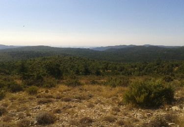
Trail Walking of 12.9 km to be discovered at Provence-Alpes-Côte d'Azur, Var, Rougiers. This trail is proposed by sonneville.
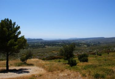
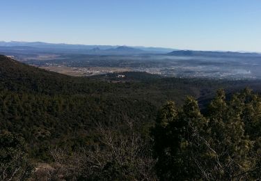
Beaucoup de grimpettes mais superbe sentier à travers la forêt.
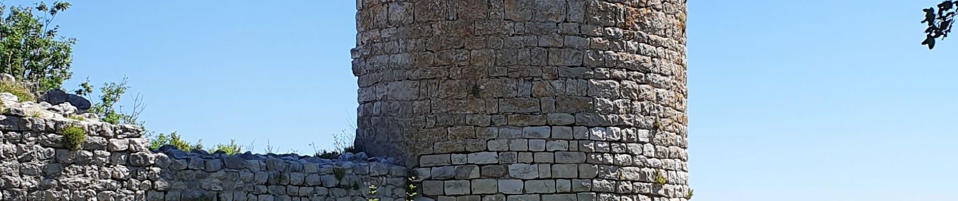
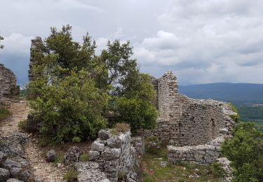
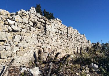
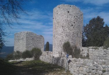
Passage aux ruines du Château et à la fontaine de la Guillandière.
La descente sur Rougiers est un un peu difficile


Walking
Mountain bike
Walking
Walking
Walking
Walking
Walking
Walking

sport