Trail On foot Salins-les-Bains - SALIN LES BAINS - GOUR DE CONCHE - Photo

SALIN LES BAINS - GOUR DE CONCHE

 mpstoop
mpstoop

User

© OpenStreetMap contributors
Length
Length
25 km
Max alt
Max alt
787 m
Uphill gradient
Uphill gradient
922 m
Km-Effort
Km-Effort  
37 km
Min alt
Min alt
341 m
Downhill gradient
Downhill gradient
921 m
Boucle
Boucle
Yes
Creation date :
2021-06-14 14:42:35.184
Updated on :
2021-06-14 15:48:59.762

(0 Reviews)

On foot
On foot
6h40
Difficulty : Medium

Scan this QR Code to open this trail in the SityTrail application

FREE GPS app for hiking

Logo SityTrail SityTrail

IGN / Geographical institutes

Download SityTrail from the App Store Download SityTrail from Google Play

Logo SityTrail SityTrail World

The world is yours!

Download SityTrail from the App Store Download SityTrail from Google Play Download SityTrail on Huawei AppGallery

About

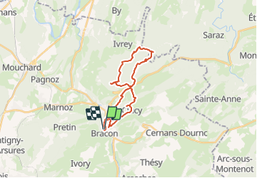
Trail On foot of 25 km to be discovered at Bourgogne-Franche-Comté, Jura, Salins-les-Bains. This trail is proposed by mpstoop.

Description

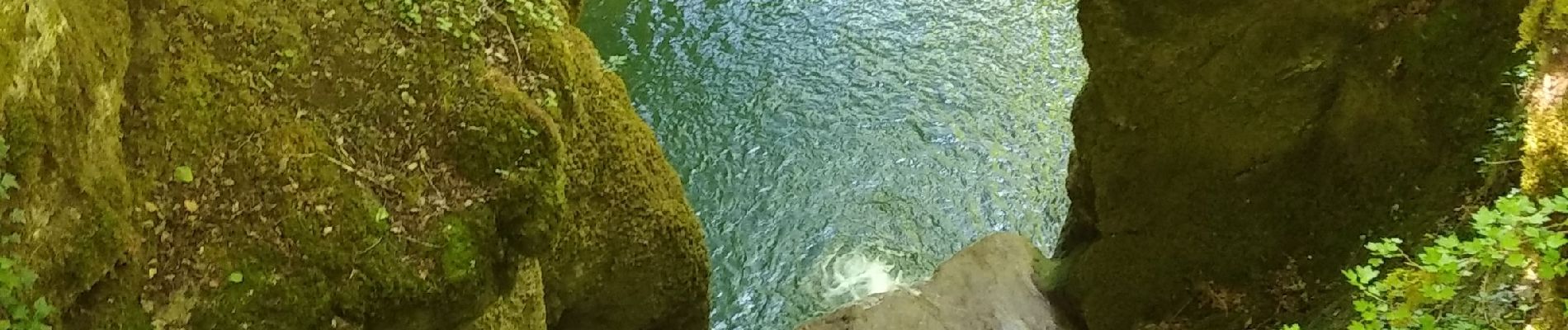
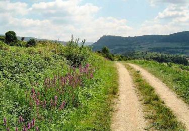
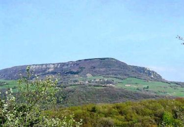
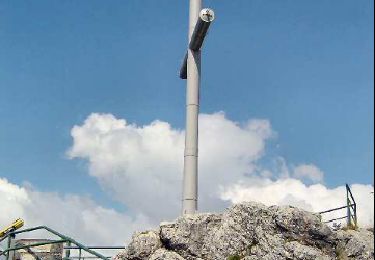
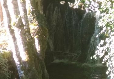
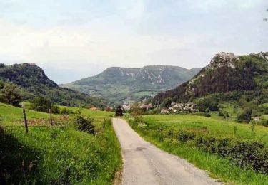
Au départ du centre de l'ancienne ville par les passages et escaliers, on accède rapidement au fort Belin puis, par le petit village de Clucy, le sentier menant au Mont Poupet, et retour par l'impressionnant Gour de Conche . Végétation remarquable dans des sentiers ensauvagés,(équipez vous!!) et points de vue sur Jura et Alpes par les crêtes et sommets .

Elevation profile

Photos

Positioning

Country:
France
Region :
Bourgogne-Franche-Comté
Department/Province :
Jura
Municipality :
Salins-les-Bains
Location:
Unknown
Start:(UTM)
718997 ; 5201903 (31T) N.

Trails nearby

Trail Walking Salins-les-Bains - Le Mont Poupet (850 m) - Photo
Walking
tracegps

Walking

Difficult
(3)
Salins-les-Bains, Bourgogne-Franche-Comté, Jura, France
16.8 km | 25 km-effort
5h 0min
Yes
Trail Walking Pagnoz - Colline et ruines du château de Vaulgrenant - Photo
Walking
tracegps

Walking

Easy
(1)
Pagnoz, Bourgogne-Franche-Comté, Jura, France
5.4 km | 7.9 km-effort
1h 30min
Yes
Trail Walking Saizenay - Saizenay_Mt Poupet - Photo
Walking
cmike39

Walking

Medium
(1)
Saizenay, Bourgogne-Franche-Comté, Jura, France
13.9 km | 21 km-effort
4h 27min
Yes
Trail Walking Marnoz - Marnoz Fort St André Fort Belin Salin 8 sept 2020 CAF - Photo
Walking
TRIMAILLE

Walking

Difficult
Marnoz, Bourgogne-Franche-Comté, Jura, France
21 km | 34 km-effort
5h 22min
Yes
Trail Walking Salins-les-Bains - Tille de Bracon - Grange Sauvaget - Photo
Walking
tracegps

Walking

Easy
(1)
Salins-les-Bains, Bourgogne-Franche-Comté, Jura, France
6.8 km | 10.2 km-effort
1h 30min
Yes
Trail Walking Salins-les-Bains - Salins les bains Poupet 15.5 km - Photo
Walking
cmike39

Walking

Very difficult
Salins-les-Bains, Bourgogne-Franche-Comté, Jura, France
16 km | 24 km-effort
4h 30min
Yes
Trail Walking Salins-les-Bains - Salins les Bains  - Photo
Walking
cmike39

Walking

Very difficult
Salins-les-Bains, Bourgogne-Franche-Comté, Jura, France
13.5 km | 20 km-effort
3h 19min
Yes
Trail Walking Pagnoz - ETERNOZ château - Photo
Walking
sebbrunie1

Walking

Easy
Pagnoz, Bourgogne-Franche-Comté, Jura, France
28 km | 37 km-effort
2h 49min
No
Trail Walking Saint-Thiébaud - Saint Thiébaud 16 km 20221006 - Photo
Walking
cmike39

Walking

Very difficult
Saint-Thiébaud, Bourgogne-Franche-Comté, Jura, France
16.1 km | 26 km-effort
6h 38min
Yes


Close
My subscriptions