


4.8 km | 7.3 km-effort

User GUIDE


FREE GPS app for hiking
 SityTrail
IGN / Geographical institutes
SityTrail World
The world is yours!
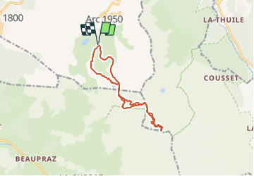
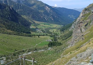
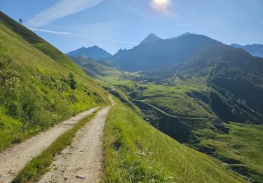
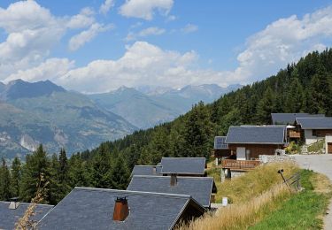
Trail Touring skiing of 13.2 km to be discovered at Auvergne-Rhône-Alpes, Savoy, Bourg-Saint-Maurice. This trail is proposed by nadd73.
Des Arcs 2000
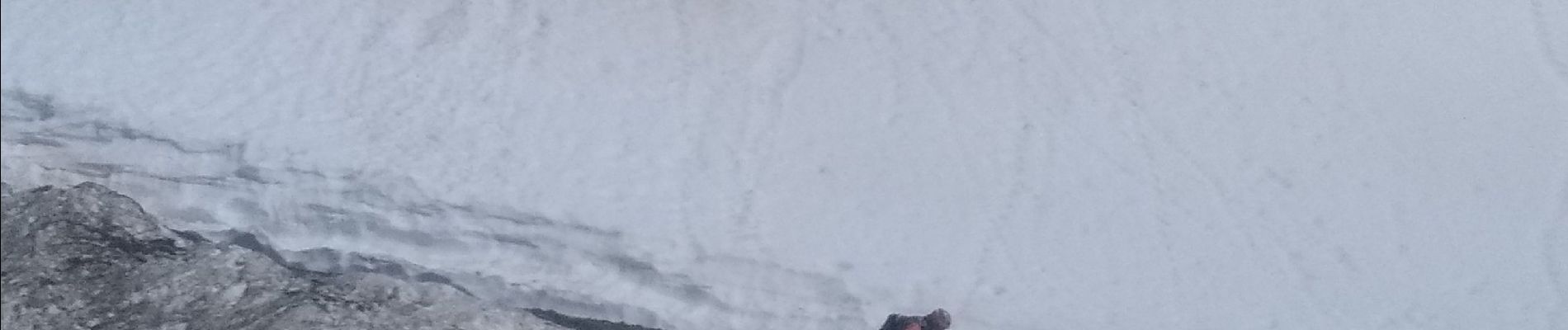
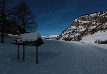
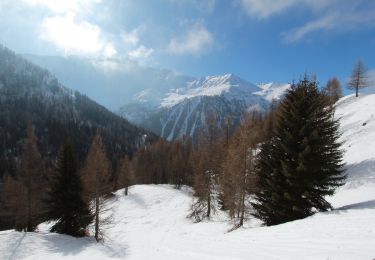
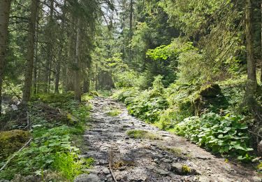
montée au col grand et col des roches portion un peu raide. crampons peuvent être utilisés.
face Ouest donc gelée assez tard.


Walking
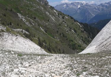
Walking
Walking
Snowshoes
Snowshoes
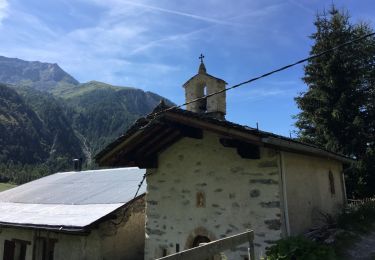
Walking
Walking
Walking
Walking