


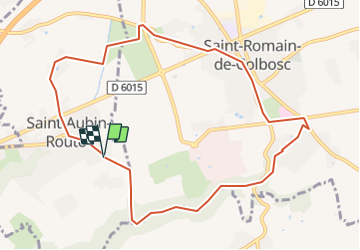

10.9 km | 11.7 km-effort


ensemble sur les chemins


FREE GPS app for hiking
 SityTrail
IGN / Geographical institutes
SityTrail World
The world is yours!
Trail On foot of 9.5 km to be discovered at Normandy, Seine-Maritime, Saint-Aubin-Routot. This trail is proposed by AACLARANDO.
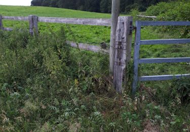
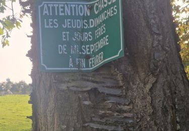
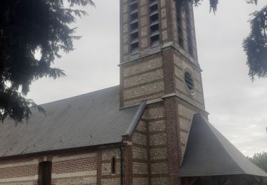
départ et arrivée au stade de St Aubin Routot. Traversée de St Romain de Colbosc. Puis bois St Michel.
Walking

Walking

On foot

Walking
Walking
Walking
Walking
Walking
Walking