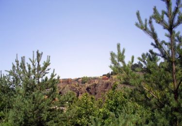
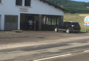
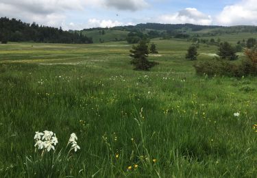
Trail Walking Coucouron - SityTrail - 2820318 - coucouron-x-moulin-courbet (1) - Photo

SityTrail - 2820318 - coucouron-x-moulin-courbet (1)

© OpenStreetMap contributors
Length
Length
13.8 km
Max alt
Max alt
1274 m
Uphill gradient
Uphill gradient
297 m
Km-Effort
Km-Effort  
17.7 km
Min alt
Min alt
1113 m
Downhill gradient
Downhill gradient
297 m
Boucle
Boucle
Yes
Creation date :
2021-06-09 18:55:45.167
Updated on :
2021-06-09 19:00:14.102

(0 Reviews)

Walking
Walking
4h01
Difficulty : Easy

Scan this QR Code to open this trail in the SityTrail application

FREE GPS app for hiking

Logo SityTrail SityTrail

IGN / Geographical institutes

Download SityTrail from the App Store Download SityTrail from Google Play

Logo SityTrail SityTrail World

The world is yours!

Download SityTrail from the App Store Download SityTrail from Google Play Download SityTrail on Huawei AppGallery

About

Trail Walking of 13.8 km to be discovered at Auvergne-Rhône-Alpes, Ardèche, Coucouron. This trail is proposed by coureursdecretes.

Description

Rando du 09/06/2021

Elevation profile

Photos

Positioning

Country:
France
Region :
Auvergne-Rhône-Alpes
Department/Province :
Ardèche
Municipality :
Coucouron
Location:
Unknown
Start:(UTM)
576790 ; 4961401 (31T) N.

Trails nearby

Trail Walking Saint-Arcons-de-Barges - Boucle de la forêt d'Arlempdes - Saint Arcon de Barges - Photo
Walking
tracegps

Walking

Medium
(1)
Saint-Arcons-de-Barges, Auvergne-Rhône-Alpes, Haute-Loire, France
13.5 km | 20 km-effort
5h 0min
No
Trail Walking Coucouron - La tour de Villeneuve  - Photo
Walking
Galoche

Walking

Medium
Coucouron, Auvergne-Rhône-Alpes, Ardèche, France
12.6 km | 16.4 km-effort
3h 6min
Yes
Trail Walking Coucouron - Coucouron - Moulin Courbet - Photo
Walking
Lustou

Walking

Difficult
(1)
Coucouron, Auvergne-Rhône-Alpes, Ardèche, France
13.8 km | 17.8 km-effort
4h 15min
Yes
Trail 4x4 Lafarre - Rando haute Loire jour 2 - Photo
4x4
michel84

4x4

Very difficult
Lafarre, Auvergne-Rhône-Alpes, Haute-Loire, France
48 km | 66 km-effort
3h 3min
Yes
Trail Walking Lachapelle-Graillouse - autour de la chapelle graillouze - Photo
Walking
Christine Torfs

Walking

Very easy
Lachapelle-Graillouse, Auvergne-Rhône-Alpes, Ardèche, France
8.2 km | 12.4 km-effort
2h 35min
Yes
Trail Walking Issarlès - Loire sauvage m - Photo
Walking
Christine Torfs

Walking

Very easy
Issarlès, Auvergne-Rhône-Alpes, Ardèche, France
3 km | 4.3 km-effort
1h 7min
Yes
Trail Mountain bike Lachapelle-Graillouse - Lachapelle  - Photo
Mountain bike
lio07

Mountain bike

Easy
Lachapelle-Graillouse, Auvergne-Rhône-Alpes, Ardèche, France
27 km | 34 km-effort
5h 56min
Yes
Trail Mountain bike Lachapelle-Graillouse - retournas ,montlor ,retournais,courbet - Photo
Mountain bike
lio07

Mountain bike

Medium
Lachapelle-Graillouse, Auvergne-Rhône-Alpes, Ardèche, France
26 km | 33 km-effort
2h 7min
Yes
Trail Mountain bike Lachapelle-Graillouse - tour chemin de la centrale - Photo
Mountain bike
lio07

Mountain bike

Easy
Lachapelle-Graillouse, Auvergne-Rhône-Alpes, Ardèche, France
17.8 km | 22 km-effort
1h 25min
Yes


Close
My subscriptions