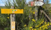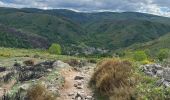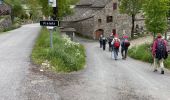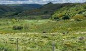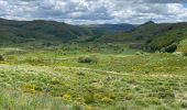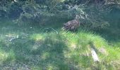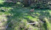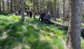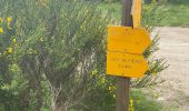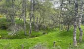

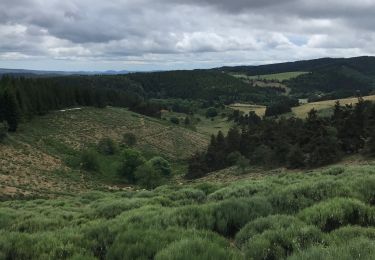
Une partie du sentier de Stevenson

ombrabella
User

Length
95 km

Max alt
1699 m

Uphill gradient
3050 m

Km-Effort
137 km

Min alt
537 m

Downhill gradient
3478 m
Boucle
No
Creation date :
2021-06-02 07:45:04.0
Updated on :
2021-06-06 17:13:17.578
29h58
Difficulty : Medium

FREE GPS app for hiking
About
Trail Walking of 95 km to be discovered at Occitania, Lozère, Luc. This trail is proposed by ombrabella.
Description
Départ de Luc, La Bastide St Laurent, Chasseradès,le Blemart, le Pont de Montvert, arrivée Florac
Positioning
Country:
France
Region :
Occitania
Department/Province :
Lozère
Municipality :
Luc
Location:
Unknown
Start:(Dec)
Start:(UTM)
570681 ; 4944896 (31T) N.
Comments
Trails nearby
chemin de Stevenson étape 6


Walking
Difficult
Laveyrune,
Auvergne-Rhône-Alpes,
Ardèche,
France

25 km | 34 km-effort
6h 50min
No
5 étape Stevenson


Walking
Very difficult
Luc,
Occitania,
Lozère,
France

29 km | 40 km-effort
8h 3min
No
le chélard


Walking
Difficult
Saint-Flour-de-Mercoire,
Occitania,
Lozère,
France

11 km | 14.9 km-effort
3h 6min
No

Régordane 3 - Laveyrune-Albespeyre


Walking
Difficult
Laveyrune,
Auvergne-Rhône-Alpes,
Ardèche,
France

23 km | 32 km-effort
7h 1min
No
E5 Luc - La Bastide Puylaurent GR70


Walking
Difficult
Luc,
Occitania,
Lozère,
France

21 km | 30 km-effort
6h 4min
No
Labrot-Bertail-L'Auradou-Luc


Walking
Very difficult
Saint-Étienne-de-Lugdarès,
Auvergne-Rhône-Alpes,
Ardèche,
France

15 km | 21 km-effort
4h 19min
Yes
10-05-2023 E5 Luc - La Bastide Puylaurent


Walking
Difficult
Luc,
Occitania,
Lozère,
France

19.5 km | 27 km-effort
6h 8min
No
Labeur une chasserades


Walking
Difficult
Luc,
Occitania,
Lozère,
France

27 km | 37 km-effort
8h 16min
No


 SityTrail


