

abri forestier - refuge puscaghja

casadebastia
User

Length
17.4 km

Max alt
1105 m

Uphill gradient
989 m

Km-Effort
30 km

Min alt
548 m

Downhill gradient
887 m
Boucle
No
Creation date :
2021-06-03 17:42:21.124
Updated on :
2021-07-22 14:23:52.973
1h25
Difficulty : Easy

FREE GPS app for hiking
About
Trail On foot of 17.4 km to be discovered at Corsica, South Corsica, Évisa. This trail is proposed by casadebastia.
Description
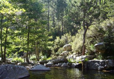
super rando, assez mal balisée à certains endroits (merci l'appli, merci le gps), spot rivière au top, grosse montée pour terminer en plein soleil ...
L'indication 1h25 ci dessous est une erreur de l'appli; comptez 7 heures pauses comprises
Positioning
Country:
France
Region :
Corsica
Department/Province :
South Corsica
Municipality :
Évisa
Location:
Unknown
Start:(Dec)
Start:(UTM)
481116 ; 4683639 (32T) N.
Comments
Trails nearby
Evisa forêt d’aitone


Walking
Easy
Évisa,
Corsica,
South Corsica,
France

13.4 km | 19.7 km-effort
4h 11min
Yes
Corniche de Porto


Walking
Medium
Ota,
Corsica,
South Corsica,
France

7.3 km | 14.1 km-effort
3h 1min
Yes
Aller retour porto piana


Cycle
Medium
Ota,
Corsica,
South Corsica,
France

23 km | 31 km-effort
1h 34min
Yes
Forêt d'Aïtone - Evisa


Walking
Difficult
(1)
Évisa,
Corsica,
South Corsica,
France

5.2 km | 8.9 km-effort
3h 0min
No

Mare e Monti


Walking
Medium
Serriera,
Corsica,
South Corsica,
France

11.3 km | 22 km-effort
4h 30min
No

Forêt d'Aïtone


Walking
Easy
(1)
Évisa,
Corsica,
South Corsica,
France

7 km | 11.1 km-effort
2h 14min
Yes

puscaghja, à tusella


Walking
Very difficult
Manso,
Corsica,
Haute-Corse,
France

15.9 km | 32 km-effort
6h 15min
Yes

Petite marche.La grotte de Petra Sorda


Walking
Medium
Ota,
Corsica,
South Corsica,
France

5 km | 7.6 km-effort
1h 43min
Yes


 SityTrail


