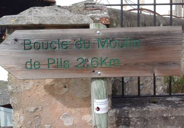
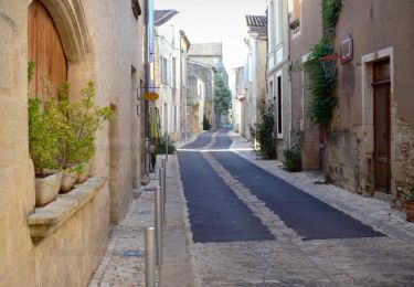
Trail Walking Fontet - La Réole    Bazas - Photo

La Réole Bazas

© OpenStreetMap contributors
Length
Length
28 km
Max alt
Max alt
117 m
Uphill gradient
Uphill gradient
368 m
Km-Effort
Km-Effort  
33 km
Min alt
Min alt
14 m
Downhill gradient
Downhill gradient
278 m
Boucle
Boucle
No
Creation date :
2021-06-03 04:23:32.433
Updated on :
2021-06-03 13:27:19.647

(0 Reviews)

Walking
Walking
5h48
Difficulty : Medium

Scan this QR Code to open this trail in the SityTrail application

FREE GPS app for hiking

Logo SityTrail SityTrail

IGN / Geographical institutes

Download SityTrail from the App Store Download SityTrail from Google Play

Logo SityTrail SityTrail World

The world is yours!

Download SityTrail from the App Store Download SityTrail from Google Play Download SityTrail on Huawei AppGallery

About

Trail Walking of 28 km to be discovered at New Aquitaine, Gironde, Fontet. This trail is proposed by Lionel_72.

Elevation profile

Positioning

Country:
France
Region :
New Aquitaine
Department/Province :
Gironde
Municipality :
Fontet
Location:
Unknown
Start:(UTM)
735305 ; 4938510 (30T) N.

Trails nearby

Trail On foot Bassanne - Le Moulin de Piis : boucle locale - Photo
On foot
GUIDE+

On foot

Easy
Bassanne, New Aquitaine, Gironde, France
3.1 km | 3.3 km-effort
44min
No
Trail Electric bike La Réole - La Réole - St Macaire - Photo
Electric bike
lviallet

Electric bike

Very easy
La Réole, New Aquitaine, Gironde, France
40 km | 44 km-effort
Unknown
Yes
Trail Walking Saint-Hilaire-de-la-Noaille - sthilaire092022 - Photo
Walking
lesmarmandais

Walking

Difficult
Saint-Hilaire-de-la-Noaille, New Aquitaine, Gironde, France
11.3 km | 14.2 km-effort
2h 42min
Yes
Trail Electric bike La Réole - 009 La Reole to Captieux using  GR 654 - Photo
Electric bike
Piper.Classique

Electric bike

Very easy
La Réole, New Aquitaine, Gironde, France
54 km | 62 km-effort
Unknown
No
Trail Electric bike La Réole - 009A towards Captieux via canal and tour de Gironde as far as Bazas - Photo
Electric bike
Piper.Classique

Electric bike

Very easy
La Réole, New Aquitaine, Gironde, France
25 km | 28 km-effort
1h 55min
No
Trail Walking Montagoudin - randogps33-510 - Photo
Walking
lesmarmandais

Walking

Difficult
Montagoudin, New Aquitaine, Gironde, France
12.4 km | 16.1 km-effort
3h 26min
Yes
Trail Walking Saint-Hilaire-de-la-Noaille - St hilaire de la nouaille - Photo
Walking
garigotte

Walking

Very easy
Saint-Hilaire-de-la-Noaille, New Aquitaine, Gironde, France
10.9 km | 12.7 km-effort
2h 23min
Yes
Trail Walking Saint-Hilaire-de-la-Noaille - randogps - Photo
Walking
garigotte

Walking

Medium
Saint-Hilaire-de-la-Noaille, New Aquitaine, Gironde, France
10.5 km | 12.3 km-effort
2h 41min
Yes
Trail Walking Saint-Hilaire-de-la-Noaille - Saint hilaire de la noaille27052019 - Photo
Walking
garigotte

Walking

Very easy
Saint-Hilaire-de-la-Noaille, New Aquitaine, Gironde, France
11.5 km | 0 m-effort
2h 37min
Yes


Close
My subscriptions