


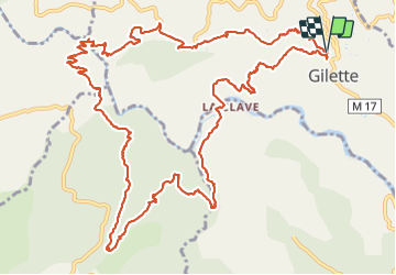


16 km | 29 km-effort


User


FREE GPS app for hiking
 SityTrail
IGN / Geographical institutes
SityTrail World
The world is yours!
Trail Walking of 18.6 km to be discovered at Provence-Alpes-Côte d'Azur, Maritime Alps, Gilette. This trail is proposed by ETMU5496.
randonnée agréable assez vallonnée mais sans difficulté majeure.


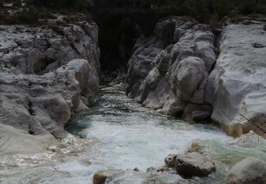
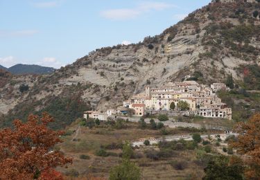
28 photos in total. Please click on a photo to see them all in the gallery.
On foot

Walking

Walking

On foot

On foot
On foot

Walking

Walking

Walking