


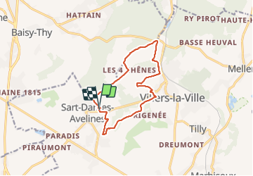

13.3 km | 16.4 km-effort

User


FREE GPS app for hiking
 SityTrail
IGN / Geographical institutes
SityTrail World
The world is yours!
Trail Walking of 11.3 km to be discovered at Wallonia, Walloon Brabant, Villers-la-Ville. This trail is proposed by calofrancis.
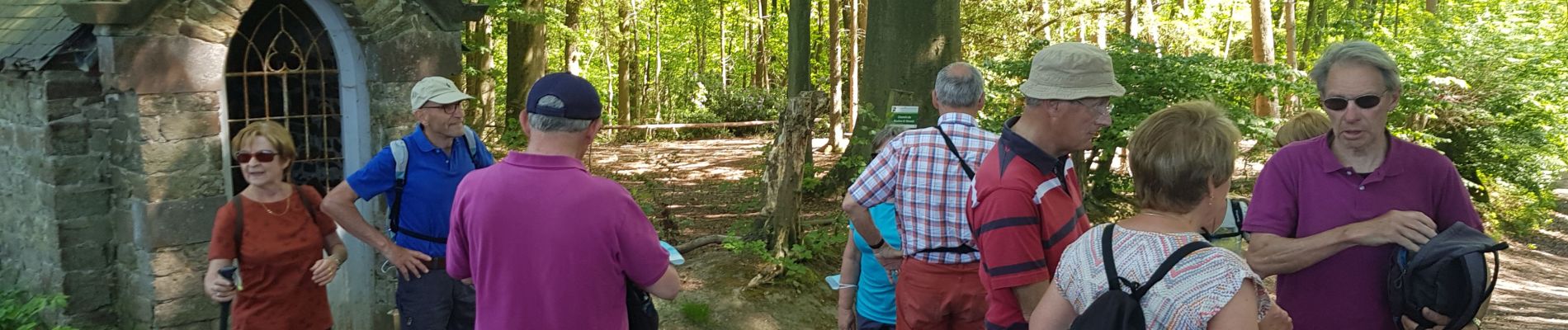
Agréable tracé, varié, très vert à cette époque de l'année
Départ du parking du centre sportif de VLV. Possibilité de prendre un rafraichissement en terrasse au retour.


Walking

Walking

Walking

Walking

Walking

Walking

Walking

Walking

Walking
Jamais déçu avec les randonnées de Calofrancis