59 km | 67 km-effort
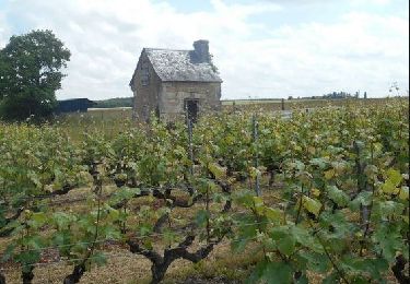
Vignes en Loir
danaubrac
User
Length
55 km
Max alt
130 m
Uphill gradient
632 m
Km-Effort
64 km
Min alt
46 m
Downhill gradient
631 m
Boucle
Yes
Creation date :
2021-05-29 19:25:13.932
Updated on :
2021-06-04 10:00:03.187
--
Difficulty : Medium
3h00
Difficulty : Medium
FREE GPS app for hiking
About
Trail Cycle of 55 km to be discovered at Pays de la Loire, Sarthe, La Chartre-sur-le-Loir. This trail is proposed by danaubrac.
Positioning
Country:
France
Region :
Pays de la Loire
Department/Province :
Sarthe
Municipality :
La Chartre-sur-le-Loir
Location:
Unknown
Start:(Dec)
Start:(UTM)
317993 ; 5289385 (31T) N.
Comments
Trails nearby
Le Loir, la Dême et le Long (CIRCUIT)
Hybrid bike
Medium
La Chartre-sur-le-Loir,
Pays de la Loire,
Sarthe,
France
3h 20min
Yes
Marçon 9kms
On foot
Medium
Marçon,
Pays de la Loire,
Sarthe,
France
8 km | 9.7 km-effort
Unknown
Yes
Ruillé sur Loir
Walking
Difficult
Loir en Vallée,
Pays de la Loire,
Sarthe,
France
21 km | 24 km-effort
3h 30min
Yes
Lhomme parcours de vigne
Nordic walking
Easy
Lhomme,
Pays de la Loire,
Sarthe,
France
4.6 km | 5.4 km-effort
2h 16min
Yes
chahaignes
Walking
Easy
Chahaignes,
Pays de la Loire,
Sarthe,
France
13.2 km | 16.2 km-effort
3h 49min
No
autour du pressoir
Walking
Very easy
(1)
Chahaignes,
Pays de la Loire,
Sarthe,
France
8.2 km | 10 km-effort
2h 21min
No