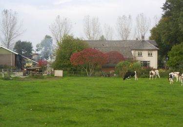
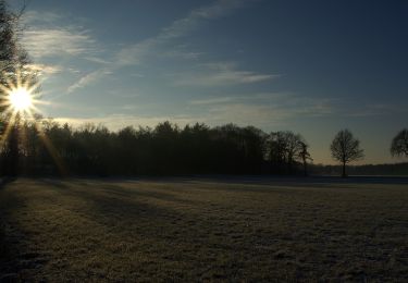
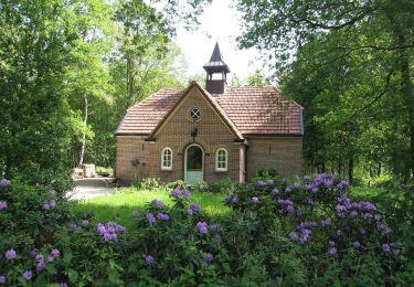
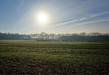
10.5 km | 11.2 km-effort
f-gelderland-anwb-zelhemroute
gpstracks
User
Length
29 km
Max alt
34 m
Uphill gradient
157 m
Km-Effort
31 km
Min alt
13 m
Downhill gradient
156 m
Boucle
Yes
Creation date :
2014-12-10 00:00:00.0
Updated on :
2014-12-10 00:00:00.0
--
Difficulty : Unknown
FREE GPS app for hiking
About
Trail Cycle of 29 km to be discovered at Gelderland, Unknown, Bronckhorst. This trail is proposed by gpstracks.
Description
More information on GPStracks.nl : http://www.gpstracks.nl
Positioning
Country:
Netherlands
Region :
Gelderland
Department/Province :
Unknown
Municipality :
Bronckhorst
Location:
Unknown
Start:(Dec)
Start:(UTM)
318116 ; 5765128 (32U) N.
Comments
Trails nearby
Keijenborg Route
On foot
Easy
Bronckhorst,
Gelderland,
Unknown,
Netherlands
11.9 km | 12.5 km-effort
2h 50min
Yes
Veldhoekroute
On foot
Easy
Bronckhorst,
Gelderland,
Unknown,
Netherlands
8.3 km | 8.9 km-effort
2h 1min
Yes
Elzeboomroute
On foot
Easy
Bronckhorst,
Gelderland,
Unknown,
Netherlands
9.3 km | 9.9 km-effort
2h 15min
Yes
De Pinselroute
On foot
Easy
Bronckhorst,
Gelderland,
Unknown,
Netherlands
8.3 km | 9 km-effort
2h 2min
Yes
Welkom op Hagen! Gele route
On foot
Easy
Doetinchem,
Gelderland,
Unknown,
Netherlands
5.1 km | 5.6 km-effort
1h 16min
Yes
Markepad
On foot
Easy
Bronckhorst,
Gelderland,
Unknown,
Netherlands
5.6 km | 6.1 km-effort
1h 23min
Yes
Dwars door Gelderland (22)
On foot
Easy
Doetinchem,
Gelderland,
Unknown,
Netherlands
4.6 km | 5.1 km-effort
1h 9min
No
Boelekeerlspad
On foot
Easy
Bronckhorst,
Gelderland,
Unknown,
Netherlands
5.9 km | 6.4 km-effort
1h 27min
Yes