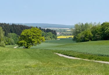
8.4 km | 9.5 km-effort
Voie verte de Valois
katiab
User
Length
31 km
Max alt
122 m
Uphill gradient
396 m
Km-Effort
36 km
Min alt
67 m
Downhill gradient
396 m
Boucle
Yes
Creation date :
2021-05-30 12:43:50.582
Updated on :
2021-05-30 15:43:09.636
2h58
Difficulty : Difficult
FREE GPS app for hiking
About
Trail Hybrid bike of 31 km to be discovered at Hauts-de-France, Oise, Lévignen. This trail is proposed by katiab.
Positioning
Country:
France
Region :
Hauts-de-France
Department/Province :
Oise
Municipality :
Lévignen
Location:
Unknown
Start:(Dec)
Start:(UTM)
492228 ; 5447917 (31U) N.
Comments
Trails nearby
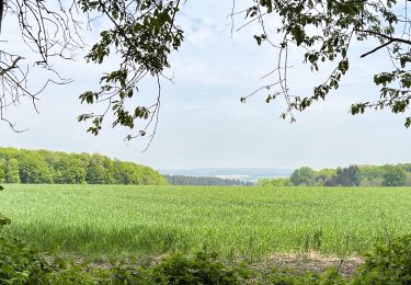
SM_PEROY-LES-GOMBRIES_8.4KM
Walking
Medium
(3)
Péroy-les-Gombries,
Hauts-de-France,
Oise,
France
2h 5min
Yes
Geocache Ancienne sablière
Walking
Very easy
(1)
Ormoy-Villers,
Hauts-de-France,
Oise,
France
3.3 km | 3.9 km-effort
1h 10min
Yes
140722 - Ormoy le Davien - Etan de Wallu
Walking
Medium
Ormoy-le-Davien,
Hauts-de-France,
Oise,
France
24 km | 29 km-effort
5h 2min
Yes
060722 - Petite rando 10 km
Walking
Ormoy-le-Davien,
Hauts-de-France,
Oise,
France
10.2 km | 12.1 km-effort
1h 53min
Yes
130522 - Boucle VTT - Ormoy le davien en passant par le canal de l'Ourc
Mountain bike
Easy
Ormoy-le-Davien,
Hauts-de-France,
Oise,
France
35 km | 40 km-effort
2h 41min
Yes
060522 - Ormoy le Davien - La Ferté Milon
Walking
Difficult
Ormoy-le-Davien,
Hauts-de-France,
Oise,
France
32 km | 38 km-effort
6h 42min
Yes
040522 - Boucle Ormoy le Davien - Moulin de Wallu...
Walking
Difficult
(1)
Ormoy-le-Davien,
Hauts-de-France,
Oise,
France
25 km | 30 km-effort
4h 51min
Yes
030422 - Direction Vaucienne puis Vaumoise et Cave du diable
Walking
Medium
Ormoy-le-Davien,
Hauts-de-France,
Oise,
France
17 km | 21 km-effort
3h 30min
Yes
290422 - Boucle Ormoy le Davien - au dessus de Chavre
Walking
Easy
Ormoy-le-Davien,
Hauts-de-France,
Oise,
France
12.9 km | 15.3 km-effort
2h 25min
Yes