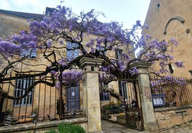
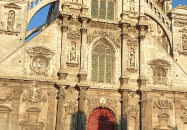
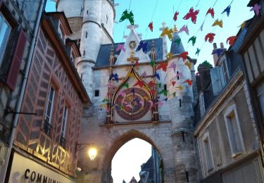
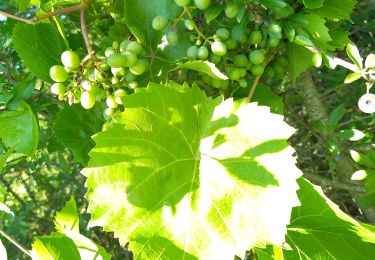
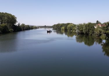
Trail Cycle Auxerre - f-frankrijk-kanaal-van-nivernais - Photo

f-frankrijk-kanaal-van-nivernais

© OpenStreetMap contributors
Length
Length
183 km
Max alt
Max alt
290 m
Uphill gradient
Uphill gradient
1620 m
Km-Effort
Km-Effort  
205 km
Min alt
Min alt
94 m
Downhill gradient
Downhill gradient
1530 m
Boucle
Boucle
No
Creation date :
2014-12-10 00:00:00.0
Updated on :
2014-12-10 00:00:00.0

(0 Reviews)

Cycle
Cycle
--
Difficulty : Unknown

Scan this QR Code to open this trail in the SityTrail application

FREE GPS app for hiking

Logo SityTrail SityTrail

IGN / Geographical institutes

Download SityTrail from the App Store Download SityTrail from Google Play

Logo SityTrail SityTrail World

The world is yours!

Download SityTrail from the App Store Download SityTrail from Google Play Download SityTrail on Huawei AppGallery

About

Trail Cycle of 183 km to be discovered at Bourgogne-Franche-Comté, Yonne, Auxerre. This trail is proposed by gpstracks.

Description

More information on GPStracks.nl : http://www.gpstracks.nl

Elevation profile

Points of interest

Point of interest Auxerre - Camping Auxerre - Photo
gpstracks
Point of interest Bazolles - Camping Baye - Photo
gpstracks
BAZOLLES 
Point of interest Coulanges-sur-Yonne - Camping Coulanges - Photo
gpstracks
COULANGES-SUR-YONNE 
Point of interest Decize - Camping Decize - Photo
gpstracks
Point of interest Decize - EINDE Station Decize - Photo
gpstracks
Point of interest La Collancelle - Gevaarlijke kruising met D958 - Photo
gpstracks
Point of interest Coulanges-sur-Yonne - Gevaarlijke kruising met N151 - Photo
gpstracks
COULANGES-SUR-YONNE 
Point of interest Saint-Bris-le-Vineux - Gevaarlijke kruising met N6 - Photo
gpstracks
SAINT-BRIS-LE-VINEUX 
Point of interest Auxerre - START Station Auxerre - Photo
gpstracks

Positioning

Country:
France
Region :
Bourgogne-Franche-Comté
Department/Province :
Yonne
Municipality :
Auxerre
Location:
Unknown
Start:(UTM)
543767 ; 5294063 (31T) N.

Trails nearby

Trail Walking Auxerre - auxerre vezelay - Photo
Walking
GUIDE
chessyca

Walking

Very difficult
Auxerre, Bourgogne-Franche-Comté, Yonne, France
57 km | 74 km-effort
9h 39min
No
Trail Walking Auxerre - Auxerre - Photo
Walking
janussity

Walking

Medium
Auxerre, Bourgogne-Franche-Comté, Yonne, France
8.9 km | 10.3 km-effort
2h 37min
Yes
Trail Mountain bike Auxerre - auxerre chablis tonnerre gr 654 - Photo
Mountain bike
rtypoi

Mountain bike

Easy
(2)
Auxerre, Bourgogne-Franche-Comté, Yonne, France
42 km | 52 km-effort
4h 17min
No
Trail Walking Quenne - Boucle de 9,4 km à Quenne 89 - Photo
Walking
HF89

Walking

Medium
Quenne, Bourgogne-Franche-Comté, Yonne, France
9.5 km | 11.9 km-effort
2h 17min
Yes
Trail Electric bike Auxerre - Auxerre - Jussy 16-07-2022 - Photo
Electric bike
gpcadu

Electric bike

Very easy
Auxerre, Bourgogne-Franche-Comté, Yonne, France
15.9 km | 18.3 km-effort
55min
No
Trail Electric bike Auxerre - Auxerre - Vigne canal - Jussy - Photo
Electric bike
gpcadu

Electric bike

Very easy
Auxerre, Bourgogne-Franche-Comté, Yonne, France
38 km | 42 km-effort
2h 4min
No
Trail Bicycle tourism Auxerre - 71 Bourgogne J5/8 - Photo
Bicycle tourism
ericf64

Bicycle tourism

Medium
Auxerre, Bourgogne-Franche-Comté, Yonne, France
81 km | 89 km-effort
10h 0min
No
Trail Walking Venoy - venoy - Photo
Walking
Anne Mercuzot

Walking

Medium
Venoy, Bourgogne-Franche-Comté, Yonne, France
7.6 km | 9.4 km-effort
1h 54min
Yes
Trail Walking Saint-Georges-sur-Baulche - anne - Photo
Walking
Anne Mercuzot

Walking

Medium
Saint-Georges-sur-Baulche, Bourgogne-Franche-Comté, Yonne, France
7 km | 8.2 km-effort
1h 59min
No


Close
My subscriptions