


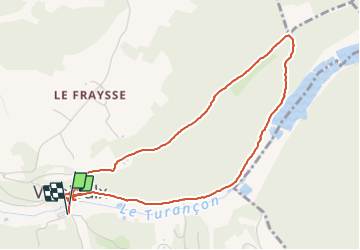

12.3 km | 17 km-effort


User


FREE GPS app for hiking
 SityTrail
IGN / Geographical institutes
SityTrail World
The world is yours!
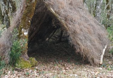
Trail Walking of 4.9 km to be discovered at New Aquitaine, Dordogne, Valojoulx. This trail is proposed by fab0202.
belle rando avec découverte d un beau village et ses moulins. La rando longe le ruisseau avec ses moulins puis ses étangs
Ensuite passage en forêt avec une belle montée.
Walking

Walking

Walking
Mountain bike
Mountain bike
Walking

Mountain bike
Walking
Walking