


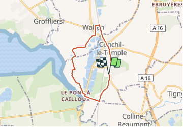

9.9 km | 10.5 km-effort


User


FREE GPS app for hiking
 SityTrail
IGN / Geographical institutes
SityTrail World
The world is yours!
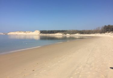
Trail On foot of 9.7 km to be discovered at Hauts-de-France, Pas-de-Calais, Conchil-le-Temple. This trail is proposed by fif59280.
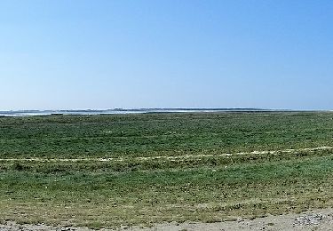
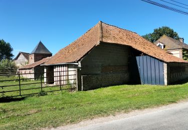
A partir de l'église de Conchil, partir vers le sud, puis au premier embranchement à droite, passez devant l'usine EMOFER. A la D940, à droite, traverser pour passer à gauche avant le corps de ferme (GR120) : site départemental de la Foraine d'Authie. Périple autour des Foraines puis au croisement suivant, à droite vers Waben. Au stop à gauche, rue du pas d'Authie, traverser la D940 et engagez vous dans la rue des Contins. Au bout à droite, traverser la voie ferrée puis à droite. Tout droit jusque votre point de départ.

Walking
On foot

Road bike
Walking
On foot
Walking

Walking

Walking
Road bike