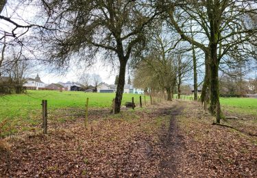
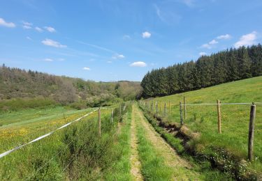
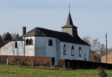
8.2 km | 10.3 km-effort
Villers la bonne eau
AnneCecile
User
Length
9.9 km
Max alt
538 m
Uphill gradient
258 m
Km-Effort
13.3 km
Min alt
421 m
Downhill gradient
256 m
Boucle
Yes
Creation date :
2021-05-29 08:04:13.184
Updated on :
2021-05-29 08:28:52.324
FREE GPS app for hiking
About
Trail of 9.9 km to be discovered at Wallonia, Luxembourg, Bastogne. This trail is proposed by AnneCecile.
Positioning
Country:
Belgium
Region :
Wallonia
Department/Province :
Luxembourg
Municipality :
Bastogne
Location:
Unknown
Start:(Dec)
Start:(UTM)
697210 ; 5534894 (31U) N.
Comments
Trails nearby
Hompré. Natura 2000, des sites qui valent le détour. Lx8
Walking
Easy
(5)
Vaux-sur-Sûre,
Wallonia,
Luxembourg,
Belgium
2h 12min
Yes
Balade de la Strange (The Strange's Walk)
On foot
Medium
Fauvillers,
Wallonia,
Luxembourg,
Belgium
15.8 km | 21 km-effort
4h 43min
Yes
RB-Lu-27_Lutrebois
Walking
Very easy
Bastogne,
Wallonia,
Luxembourg,
Belgium
31 km | 39 km-effort
8h 27min
Yes
RB-Lu-27_Lutrebois_Boucle-2
Walking
Very easy
Bastogne,
Wallonia,
Luxembourg,
Belgium
21 km | 26 km-effort
5h 4min
Yes
RB-Lu-27_Lutrebois_Boucle-1
Walking
Very easy
Bastogne,
Wallonia,
Luxembourg,
Belgium
18.4 km | 23 km-effort
5h 3min
Yes
Hollange
Walking
Very easy
Fauvillers,
Wallonia,
Luxembourg,
Belgium
11.4 km | 15.6 km-effort
3h 16min
Yes
Lutrebois 150224
Walking
Easy
Bastogne,
Wallonia,
Luxembourg,
Belgium
16.4 km | 21 km-effort
3h 54min
Yes
rando honville 18-05-2023
Walking
Medium
Fauvillers,
Wallonia,
Luxembourg,
Belgium
18 km | 24 km-effort
4h 27min
Yes
rando lutrebois
Walking
Medium
Bastogne,
Wallonia,
Luxembourg,
Belgium
17.2 km | 21 km-effort
3h 57min
Yes