


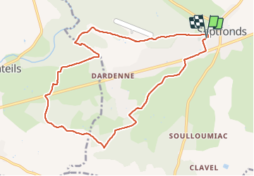

8.6 km | 10 km-effort


User


FREE GPS app for hiking
 SityTrail
IGN / Geographical institutes
SityTrail World
The world is yours!
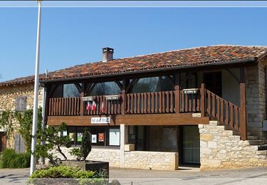
Trail Walking of 10.5 km to be discovered at Occitania, Tarn-et-Garonne, Septfonds. This trail is proposed by BernardEsteban.
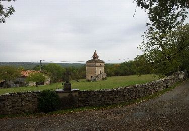
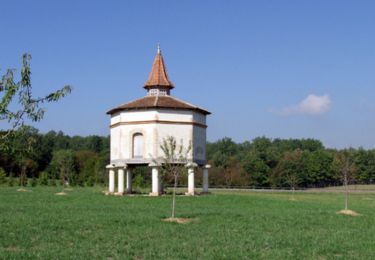
Plusieurs dolmens.
Depart du parking du cimetriere de Septfonds qui se trouve à gauche à l'entrée du village quand on vient de Caussade.
Walking

sport
sport
Mountain bike

Walking
Walking

Mountain bike
Mountain bike
Road bike