


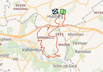

17.2 km | 21 km-effort


User GUIDE


FREE GPS app for hiking
 SityTrail
IGN / Geographical institutes
SityTrail World
The world is yours!
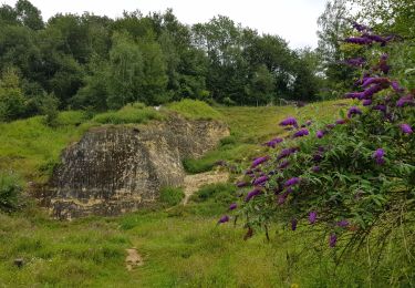
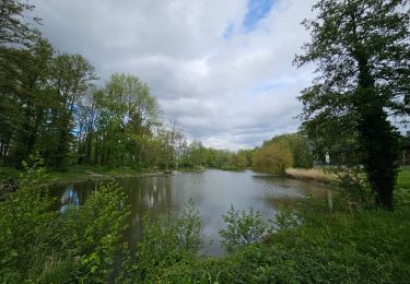
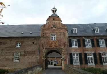
Trail Walking of 16.3 km to be discovered at Limburg, Unknown, Beekdaelen. This trail is proposed by mumu.larandonneuse.
Hormis les passages le long de l'autoroute, c'est une très belle randonnée offrant des vues panoramiques sur les paysages du Zuid-Limburg.
ℹ www.wandelgidszuidlimburg.com n° 870


Walking

Walking

Walking
Walking
Walking
Walking

Walking
Walking
On foot