


9.5 km | 20 km-effort


User


FREE GPS app for hiking
 SityTrail
IGN / Geographical institutes
SityTrail World
The world is yours!
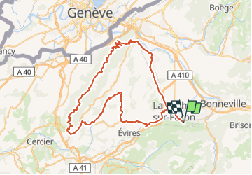
Trail Cycle of 80 km to be discovered at Auvergne-Rhône-Alpes, Upper Savoy, Saint-Sixt. This trail is proposed by bosses21.
1/ Col d'Evires - 801 m
2/ Pas de Cheval - 923 m
3/ Col Le Parc - 915 m
4/ Col des Convers - 1300 m
5/ Col des Pitons - 1335 m
6/ Col de la Croisette - 1176 m
7/ Col de Grande Gorge - 1286 m
8/ Pas de l'Echelle - 690 m
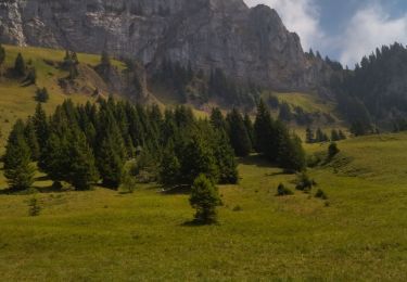
Walking
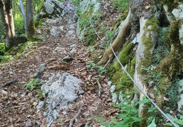
Walking
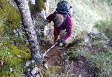
Walking
Walking

Walking
Walking
Walking
Walking
Walking