20 km | 28 km-effort
11 Stevenson
cmike39
User
Length
22 km
Max alt
604 m
Uphill gradient
689 m
Km-Effort
32 km
Min alt
189 m
Downhill gradient
892 m
Boucle
No
Creation date :
2021-05-27 06:34:00.1
Updated on :
2021-05-27 19:46:51.142
7h33
Difficulty : Very difficult
FREE GPS app for hiking
About
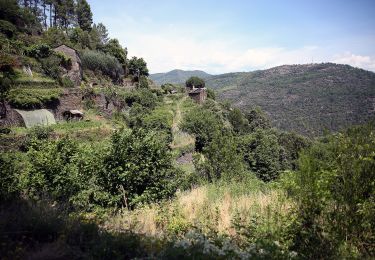
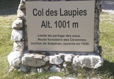
Trail Walking of 22 km to be discovered at Occitania, Lozère, Saint-Germain-de-Calberte. This trail is proposed by cmike39.
Positioning
Country:
France
Region :
Occitania
Department/Province :
Lozère
Municipality :
Saint-Germain-de-Calberte
Location:
Unknown
Start:(Dec)
Start:(UTM)
564943 ; 4896240 (31T) N.
Comments
Trails nearby
Stevenson Saint Germain de Calberte Saint Jean du Gard
Walking
Difficult
Saint-Germain-de-Calberte,
Occitania,
Lozère,
France
5h 53min
No
Sentier des Rocs de Galta
On foot
Easy
Saint-Germain-de-Calberte,
Occitania,
Lozère,
France
5.4 km | 8 km-effort
1h 49min
Yes
st germain de calberte
Walking
Very difficult
Saint-Germain-de-Calberte,
Occitania,
Lozère,
France
18.4 km | 28 km-effort
6h 25min
Yes
16-05-2023 E11 Le Pont de Burgen - Saint Jean du Gard
Walking
Very difficult
Saint-Étienne-Vallée-Française,
Occitania,
Lozère,
France
14.5 km | 22 km-effort
4h 55min
No
Montagne vieille morte
Walking
Difficult
Saint-Étienne-Vallée-Française,
Occitania,
Lozère,
France
24 km | 36 km-effort
6h 54min
Yes
La Flandonenque
On foot
Easy
Saint-Germain-de-Calberte,
Occitania,
Lozère,
France
9.2 km | 13.1 km-effort
2h 57min
Yes
St Germain de Calberte - St Jean du Gard
Mountain bike
Difficult
(1)
Saint-Germain-de-Calberte,
Occitania,
Lozère,
France
32 km | 44 km-effort
2h 46min
No
Saint-Jean du Gard
sport
Very easy
Saint-Germain-de-Calberte,
Occitania,
Lozère,
France
23 km | 34 km-effort
Unknown
No
Stevenson Pont de Burgen - Saint Jean du Gard
Walking
Very difficult
Saint-Étienne-Vallée-Française,
Occitania,
Lozère,
France
21 km | 31 km-effort
6h 57min
No