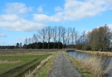
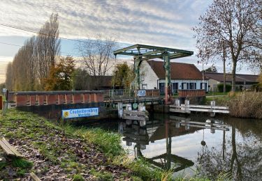
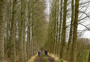
48 km | 51 km-effort
Belgie - Langs Moervaart en Leden
gpstracks
User
Length
48 km
Max alt
17 m
Uphill gradient
231 m
Km-Effort
52 km
Min alt
-3 m
Downhill gradient
234 m
Boucle
Yes
Creation date :
2014-12-10 00:00:00.0
Updated on :
2014-12-10 00:00:00.0
--
Difficulty : Unknown
FREE GPS app for hiking
About
Trail Cycle of 48 km to be discovered at Flanders, East Flanders, Moerbeke. This trail is proposed by gpstracks.
Description
More information on GPStracks.nl : http://www.gpstracks.nl

Positioning
Country:
Belgium
Region :
Flanders
Department/Province :
East Flanders
Municipality :
Moerbeke
Location:
Moerbeke
Start:(Dec)
Start:(UTM)
565545 ; 5669417 (31U) N.
Comments
Trails nearby
fietstocht ten zuiden van wachtebeke 47.8 km
Electric bike
Very easy
(1)
Wachtebeke,
Flanders,
East Flanders,
Belgium
Unknown
Yes
Liniewegelroute
On foot
Easy
Lokeren,
Flanders,
East Flanders,
Belgium
8.4 km | 9 km-effort
2h 2min
Yes
Pereboomsgat Wandelroute
On foot
Easy
Moerbeke,
Flanders,
East Flanders,
Belgium
8.5 km | 8.9 km-effort
2h 1min
No
Wullebos - Klein Sinaai (6km) (StepAway.be)
Walking
Easy
(1)
Stekene,
Flanders,
East Flanders,
Belgium
5.9 km | 6.5 km-effort
1h 26min
Yes
Moerbeke 26,5 km
Walking
Medium
Moerbeke,
Flanders,
East Flanders,
Belgium
27 km | 28 km-effort
5h 44min
Yes
Fondatie van Boudeloroute
On foot
Easy
Sint-Niklaas,
Flanders,
East Flanders,
Belgium
6 km | 6.5 km-effort
1h 28min
Yes
liniewegel
Walking
Very easy
(1)
Lokeren,
Flanders,
East Flanders,
Belgium
8.4 km | 9 km-effort
Unknown
Yes
Sterretrappers gefietst Wachtebeke
Electric bike
Easy
Wachtebeke,
Flanders,
East Flanders,
Belgium
51 km | 54 km-effort
4h 19min
Yes